

Hooker Valley Track / Aoraki Mt Cook


10kms Return / 3hrs
Located 5 mins from Aoraki/Mount Cook Village.
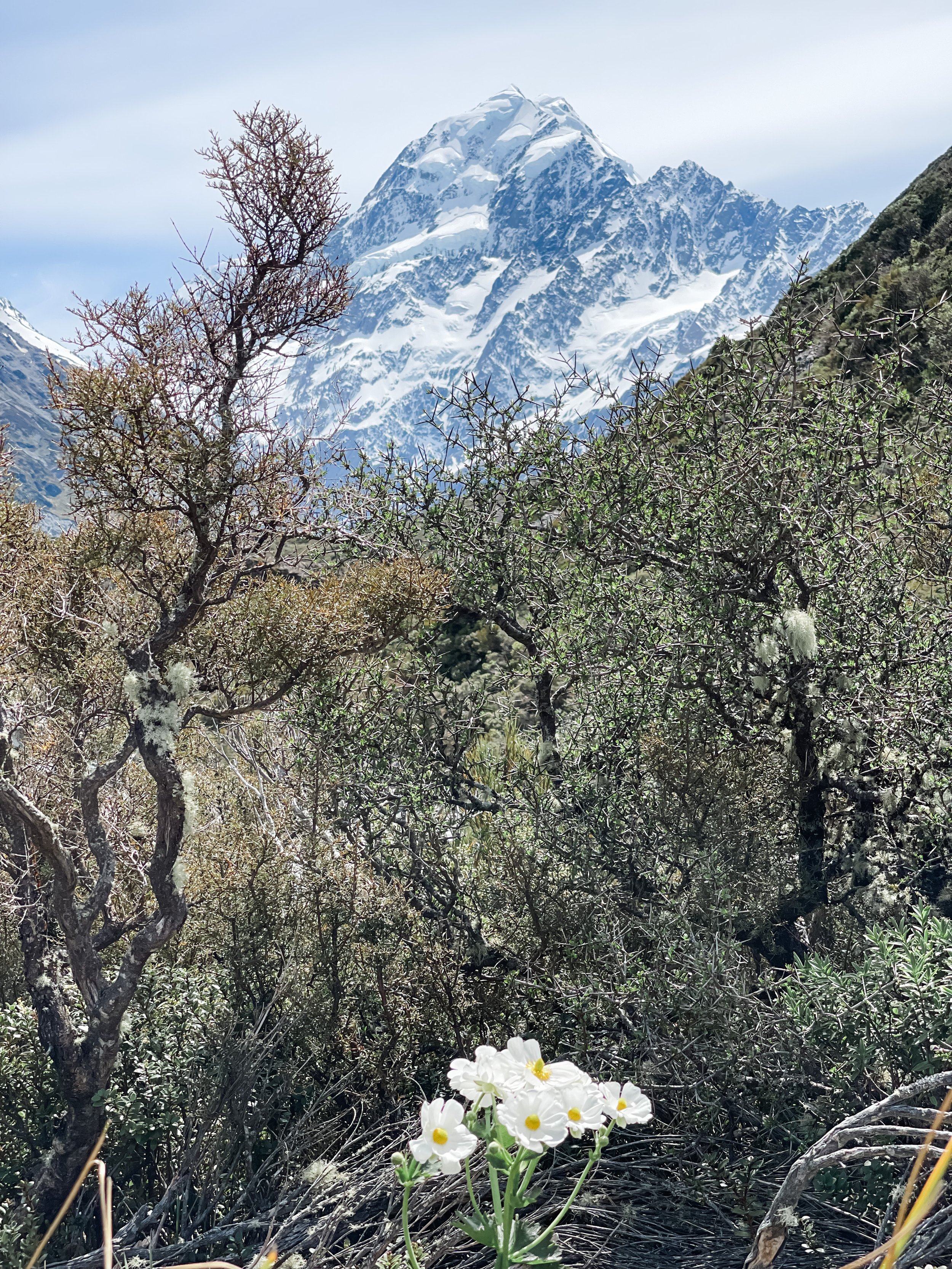
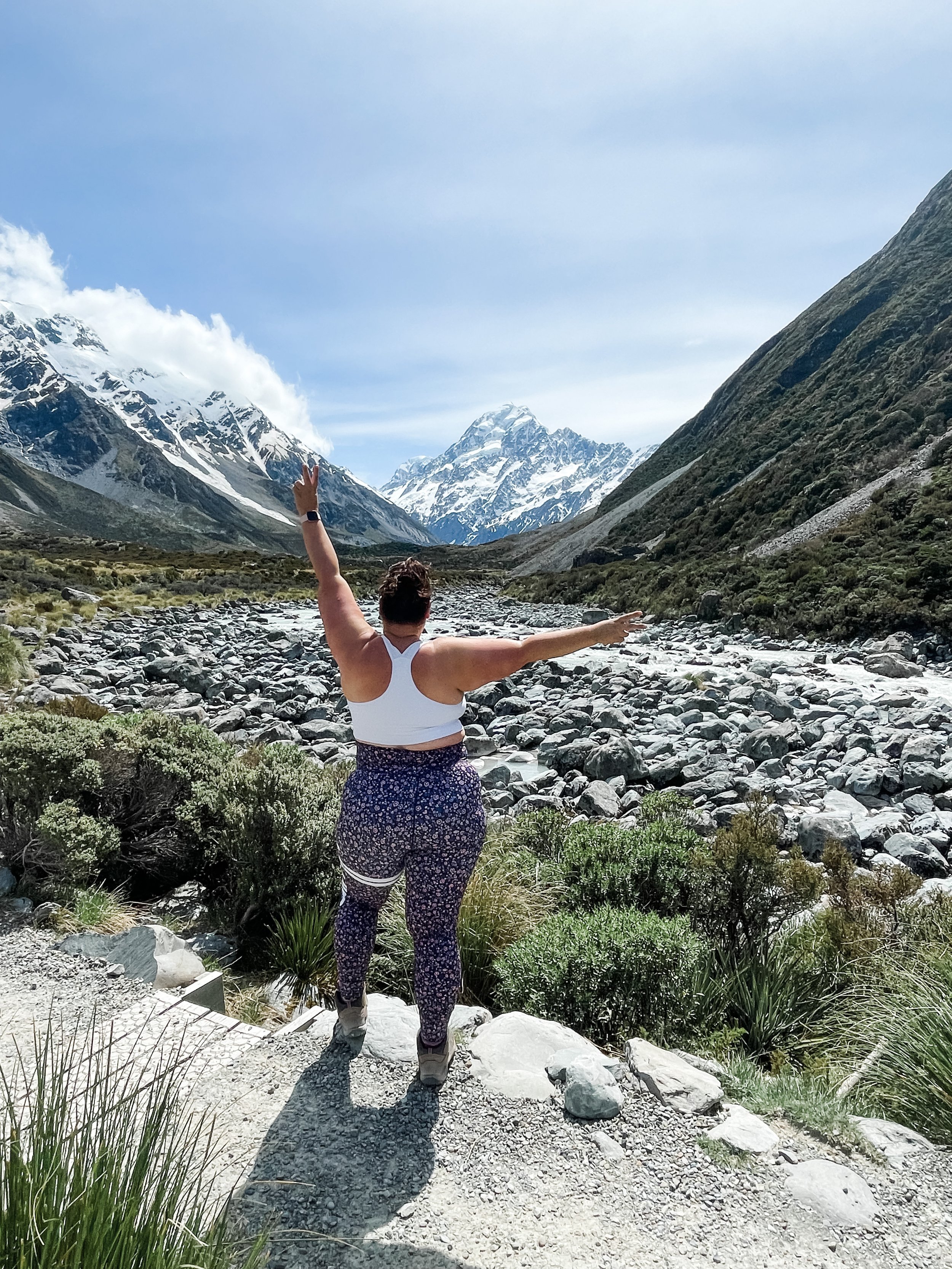
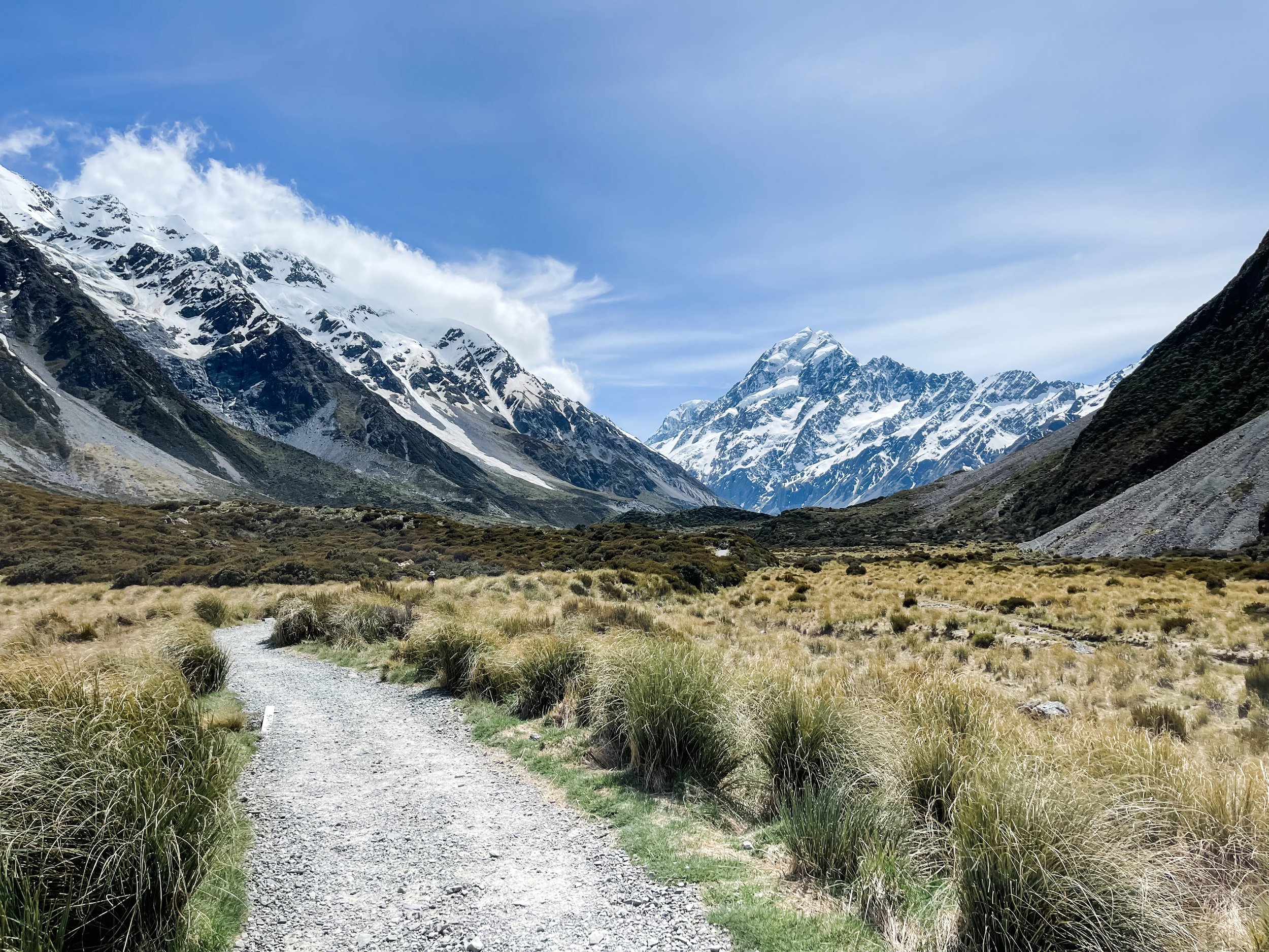
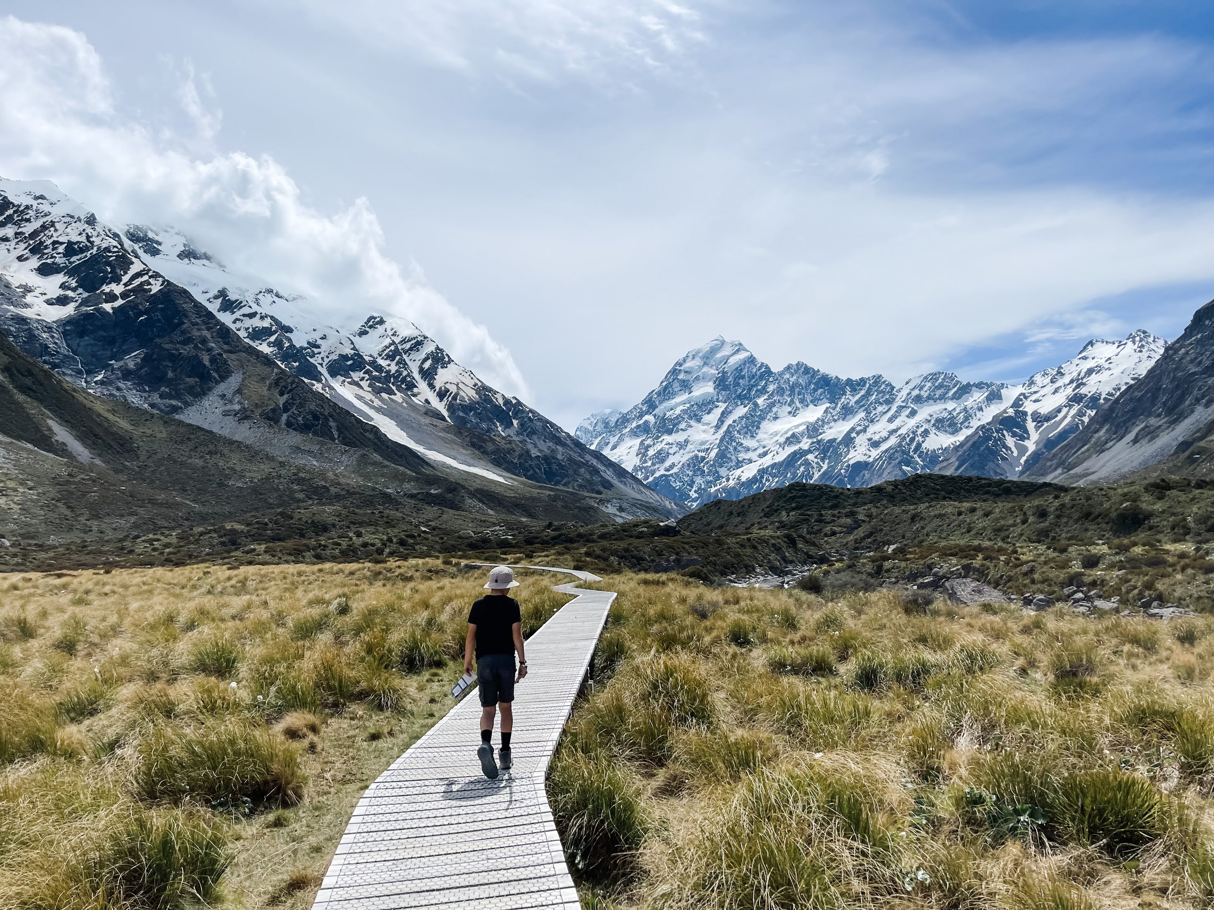
There is a reason the Hooker Valley Track is voted New Zealand most popular day walk. It is nothing short of spectacular, especially if you get a clear day like we did, getting to experience Aoraki / Mt Cook as your backdrop while you walk.
During this walk you pass through Hooker Valley and walk beside the Hooker River, and end at a glacial lake which is pretty amazing to see up close. We were lucky enough to see some icebergs the day we were there.
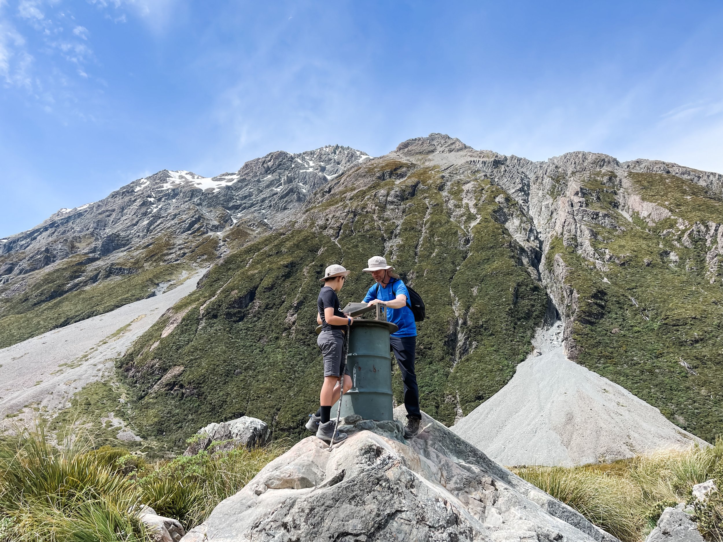
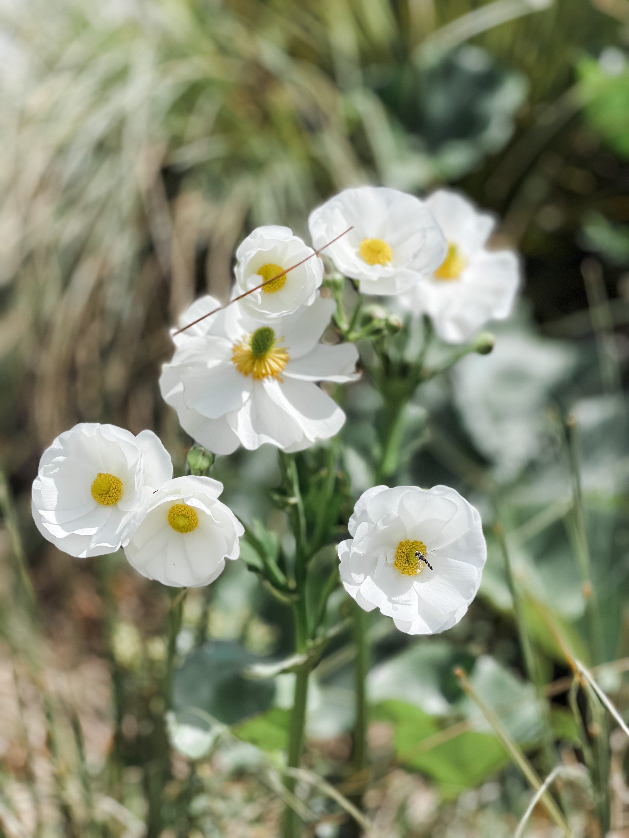
The track is a medium to easy grade, there is no real elevation so it’s a relatively easy walk that is family friendly. The walk is 10kms long though, so does take a little while, but the views and alpine flora and fauna you experience make it worth it.
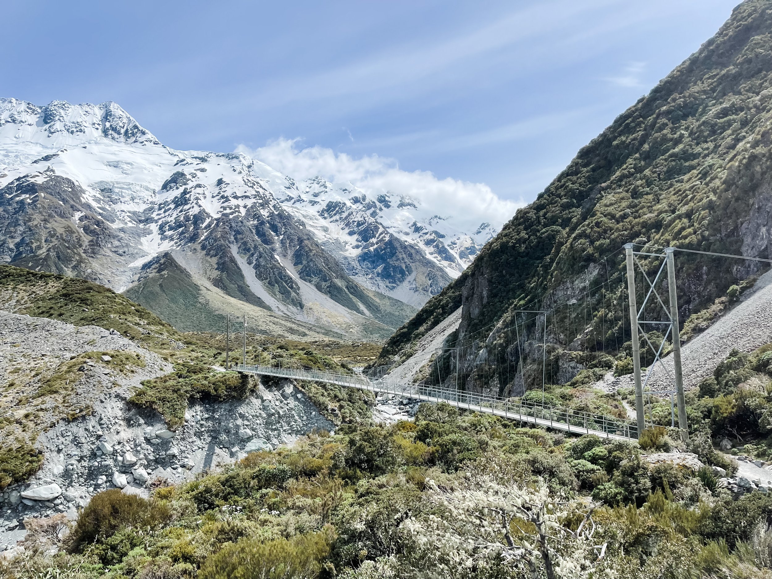
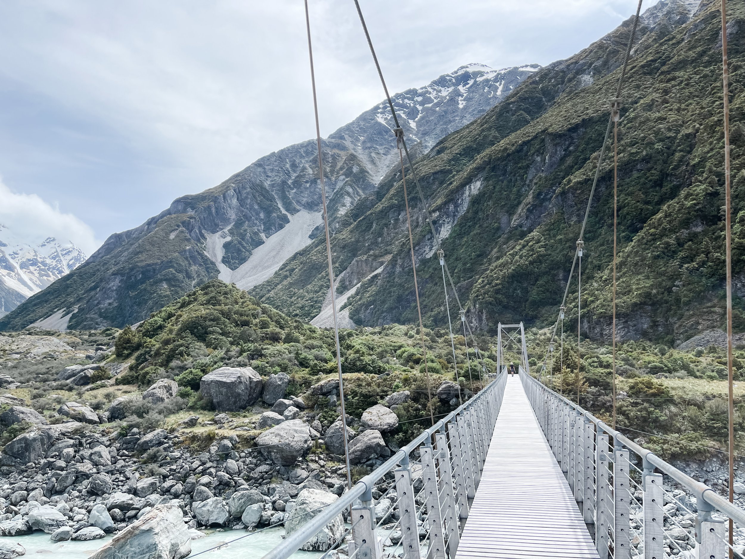
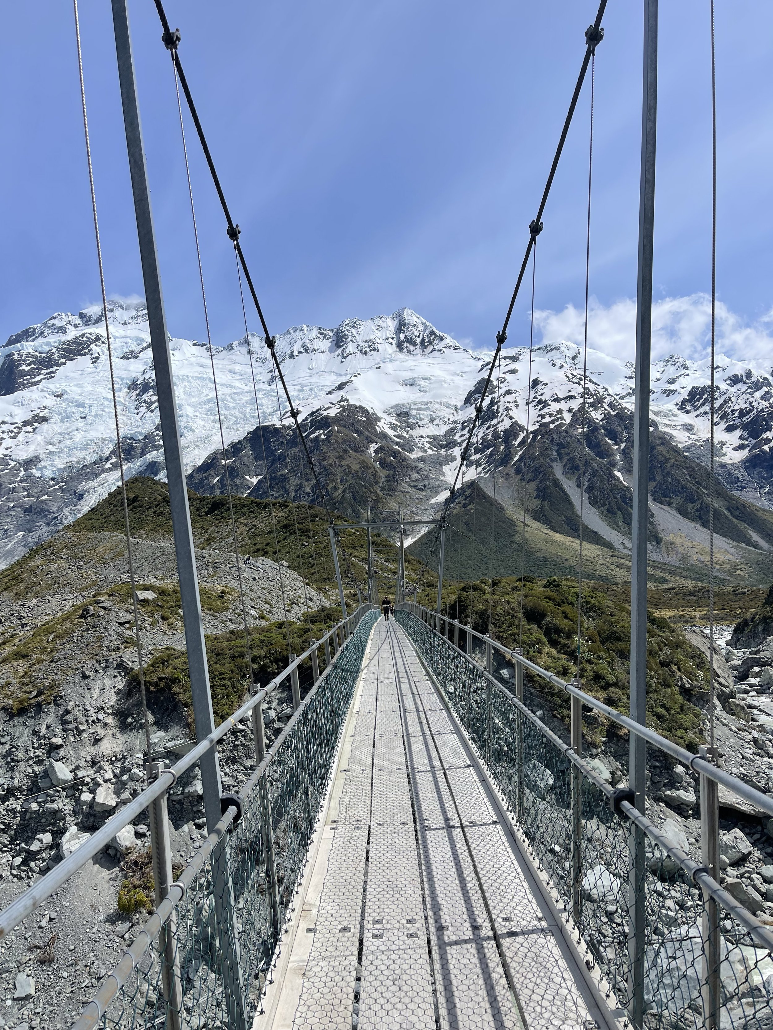
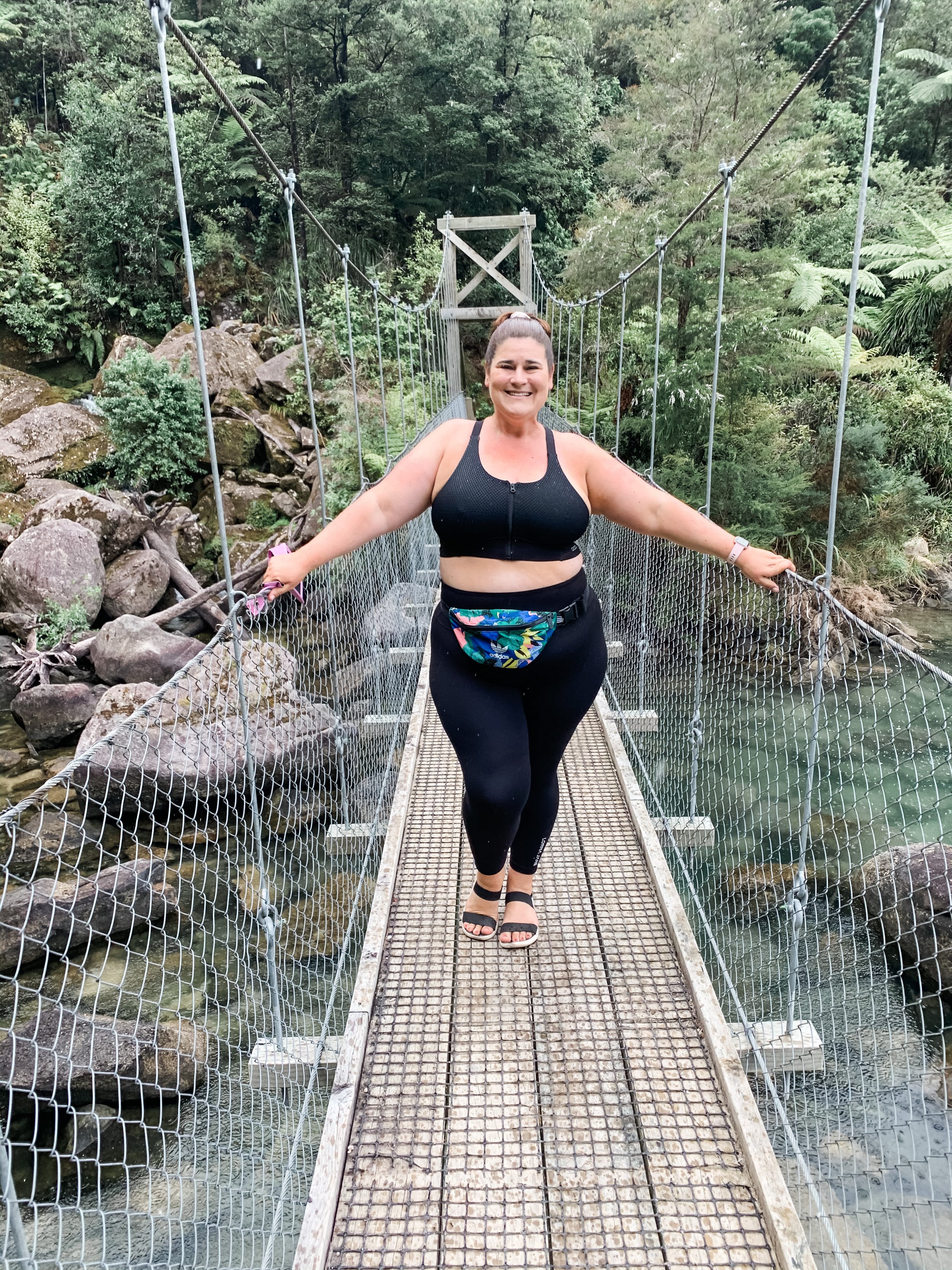
There are several swing bridges to cross which offer some pretty amazing views along the way. If you’re a bit skittish around heights, the second one might make you pause (like it did for me!) but I knew I just had to get to the other side, so got brave and did it!
The view are incredible in every direction. While walking you are surrounded by mountain ranges on all sides making it pretty dramatic. We were lucky enough to witness an avalanche off to the side on one of the cliff faces - we actually heard it before we saw it, with the sound echoing through the valley. Pretty cool!
The terrain is quite rocky in places so I recommend close toed shoes. I walked in hiking boots which were perfect for this walk.
This walk is one of our favourites ever, with so much varied landscape and terrain in the 3hrs we were walking, plus the stunning scenery and it’s easy grade - it’s a winner!
Abel Tasman Track - Planning Your Walk
All the tips and tricks you need to help you plan your Abel Tasman Walk.
Abel Tasman
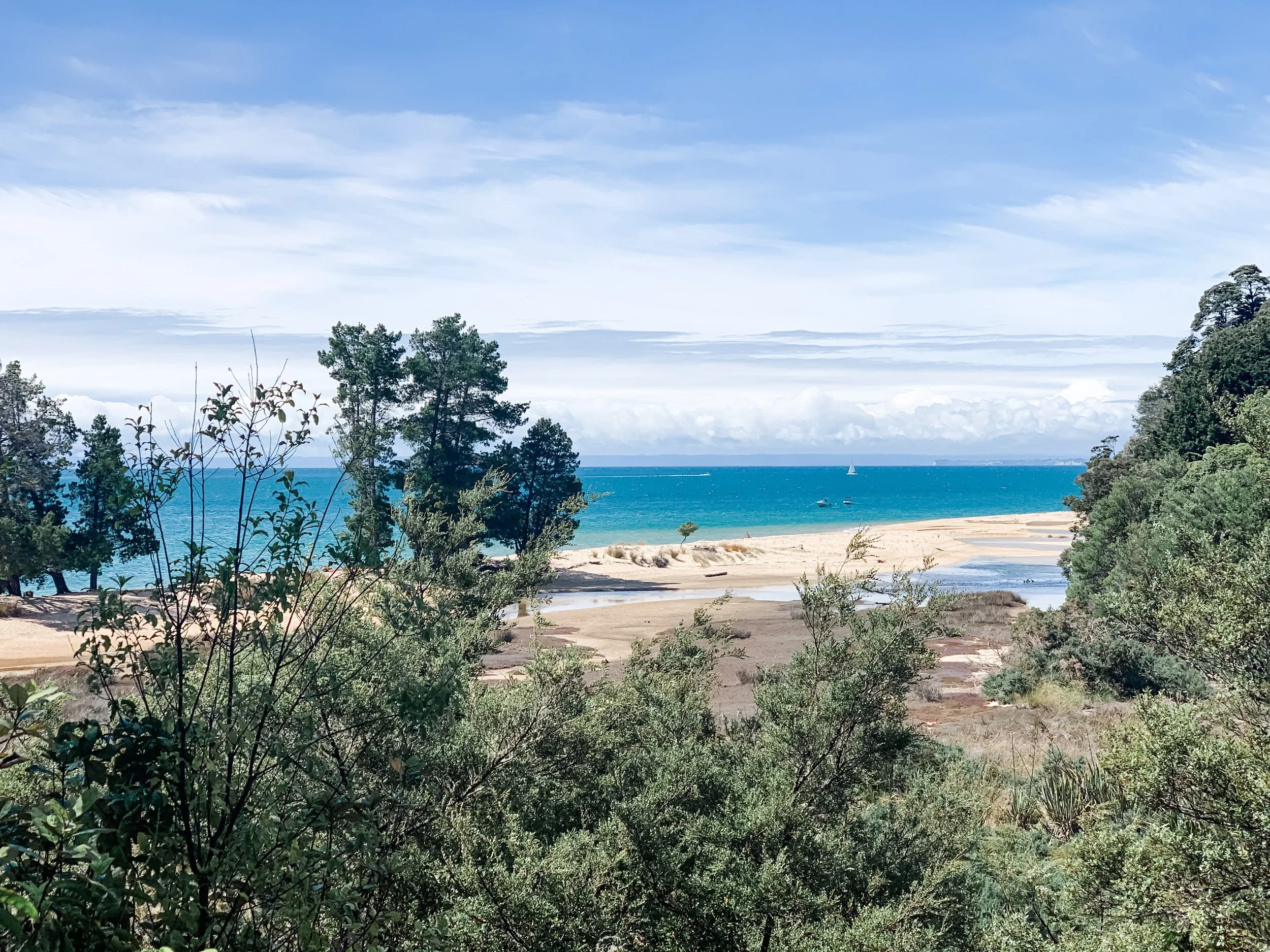
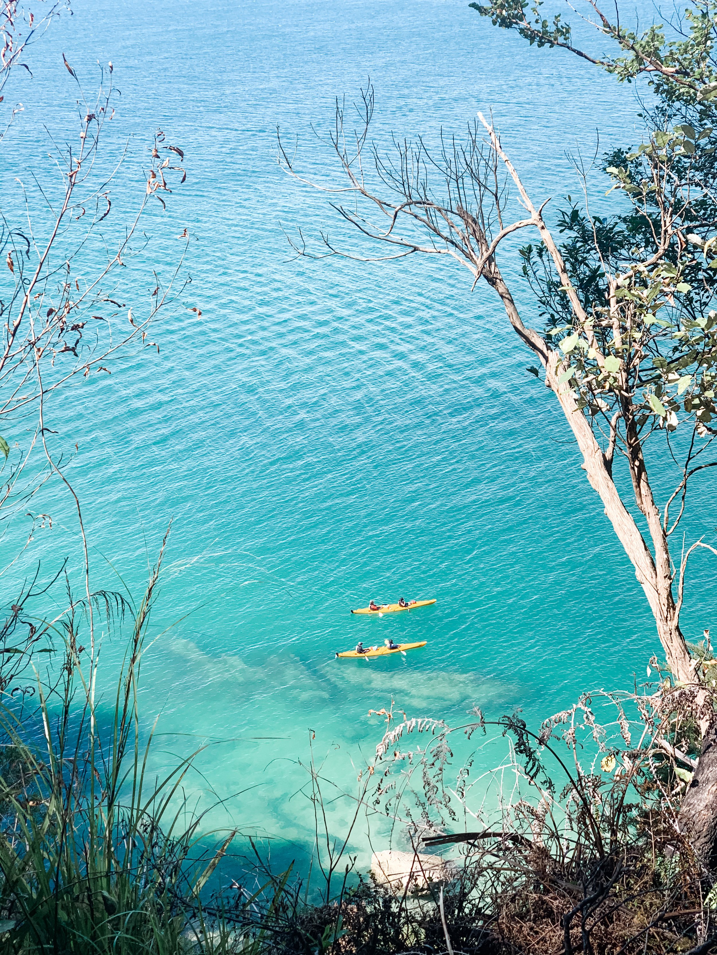
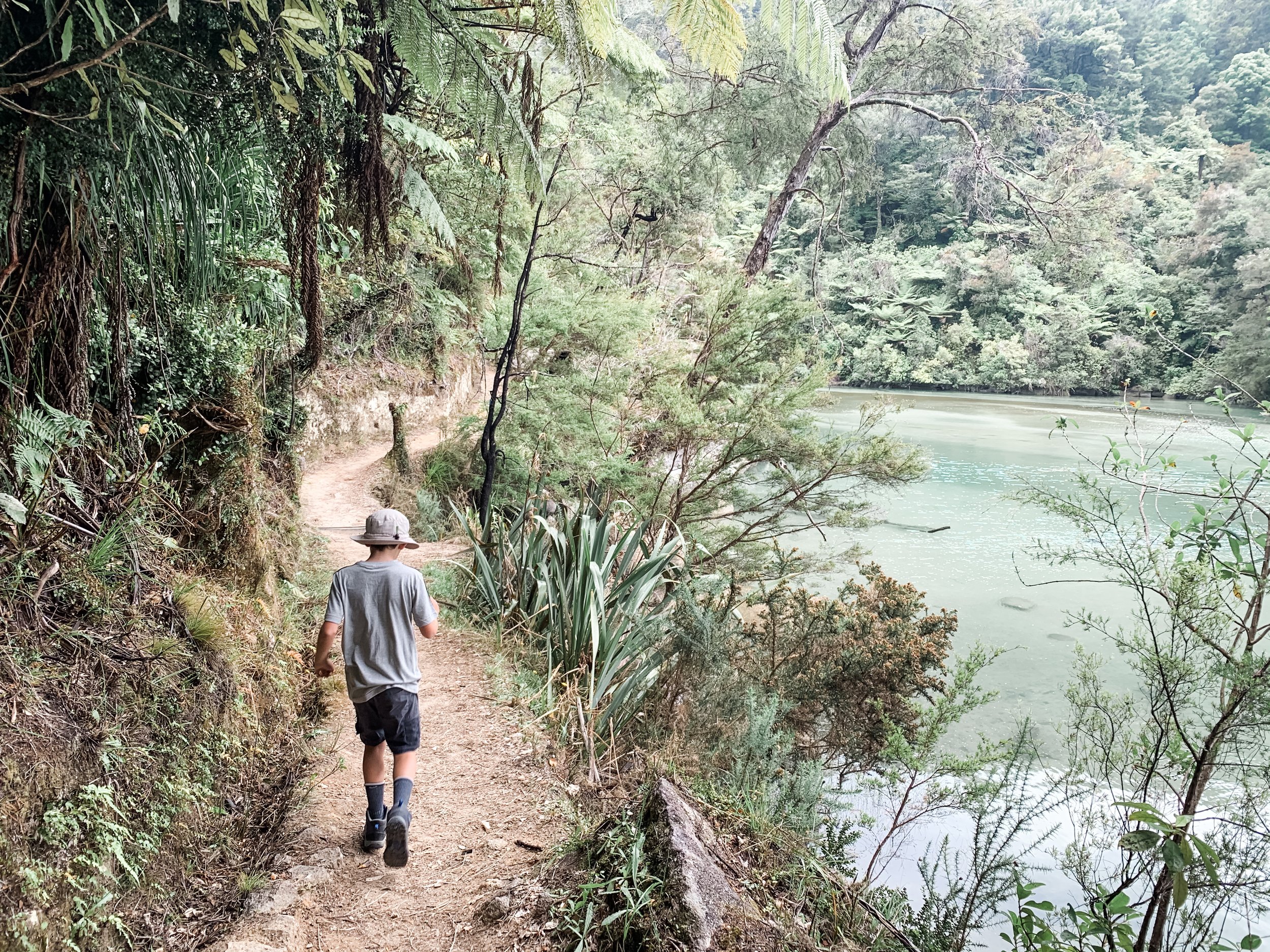
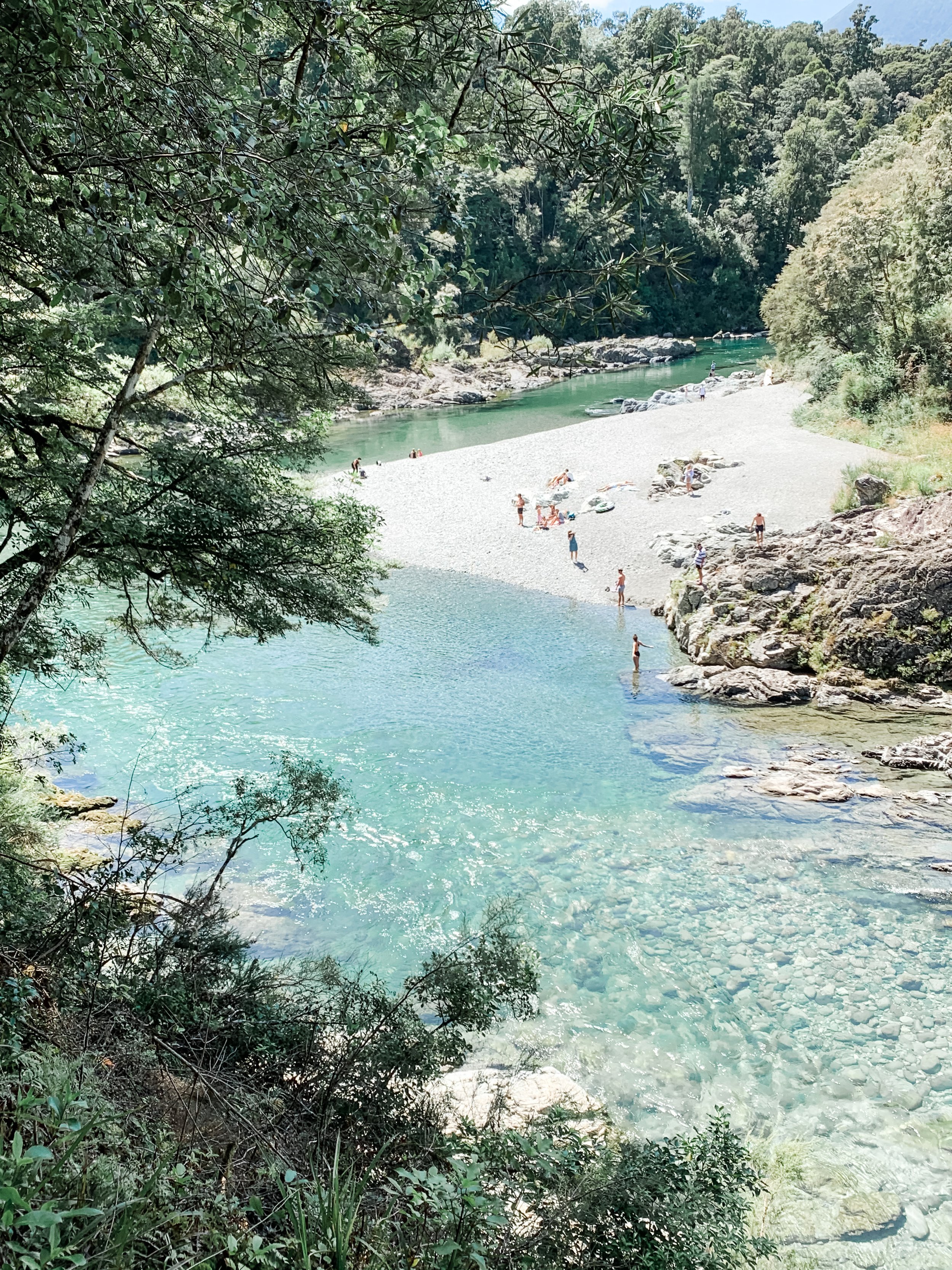
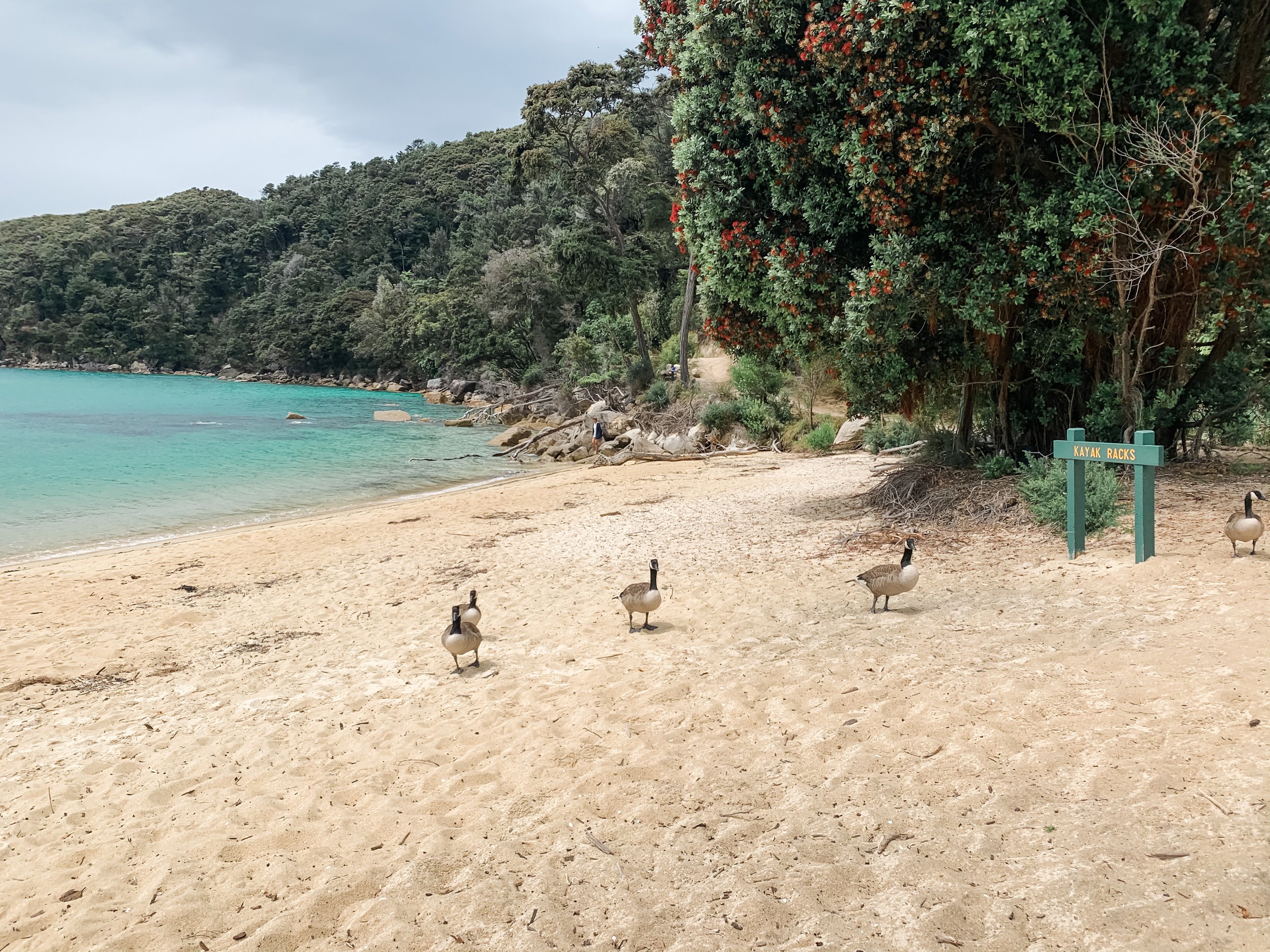
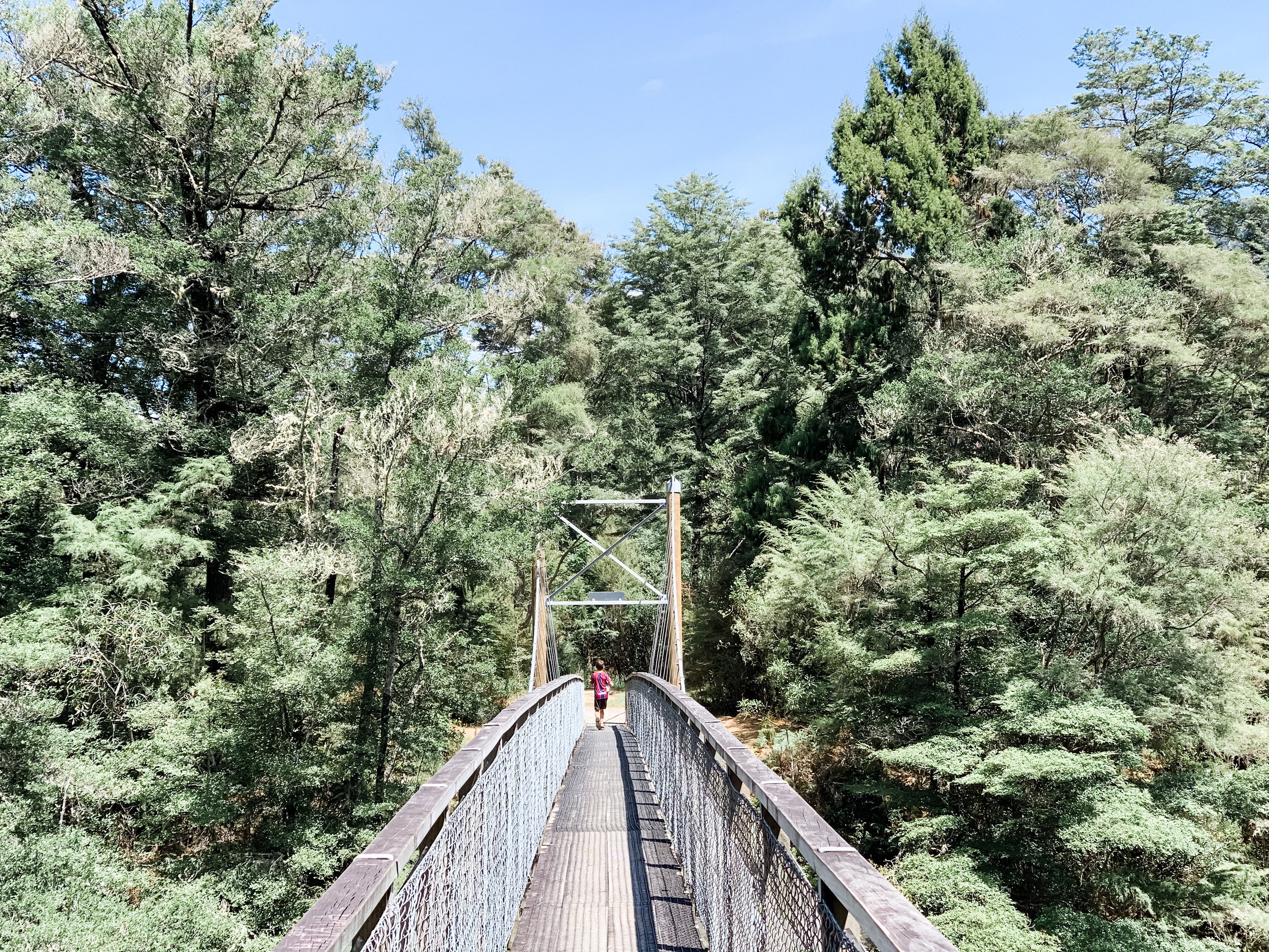
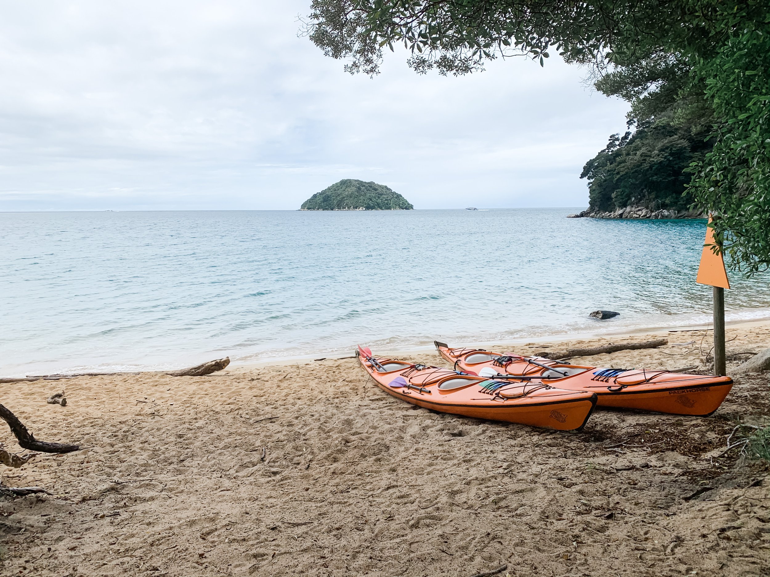
The Abel Tasman is an incredibly beautiful part of the country. We are so lucky that we can experience via walking tracks, or even by water on kayaks if you want. In 2021 we decided to undertake a few days walking the famed track, and it did not disappoint. It was a moderate walking track, we didn’t find any of it too challenging - but did also not do the entire track. See below for the sections we walked.
I will confess I found organising our trip and navigating how to plan the Abel Tasman very confusing, so hopefully this helps anyone else wanting to plan a trip there.
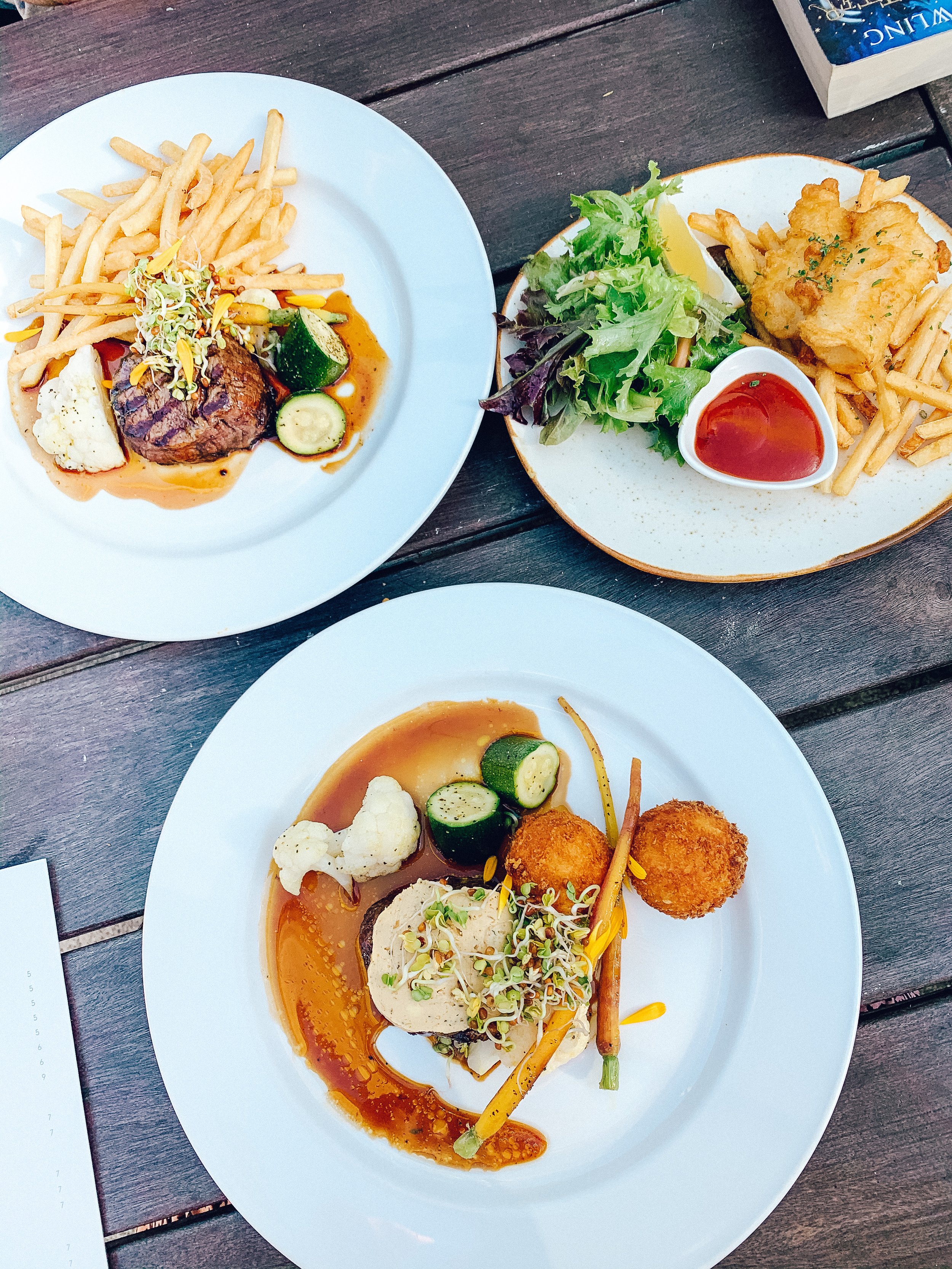
We decided to not camp along the way, as this girl likes her home comforts so I set about trying to find accommodation, which was the biggest challenge. There are very few places to stay IN the park. Unless you find somewhere private, the only spot I found was Awaroa Lodge. It’s an amazing little oasis in the middle of the bush, but it cost us. We were visiting over peak time, so we paid top dollar at $470 a night (likely a lot more now!). That’s the most I have ever paid to stay anywhere and it took me a few days to accept that I wasn’t going to find anywhere else and we decided as it was a special trip for us, we would splurge. The price also included an epic full menu breakfast each day. It needs to be said - the food at this place is outstanding.
Price wise, we stayed in peak times - I think other times of year it is much more reasonable. Staying here meant water taxi’ing in and out (which you need to book in advance, we used Aqua Taxi), or walking in and out. So here is the breakdown of how we coordinated 3 days walking.
Day 1: Marahau to Anchorage Bay
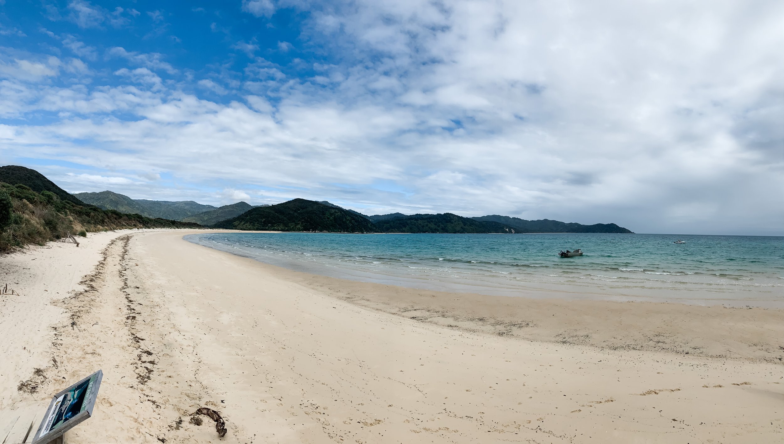
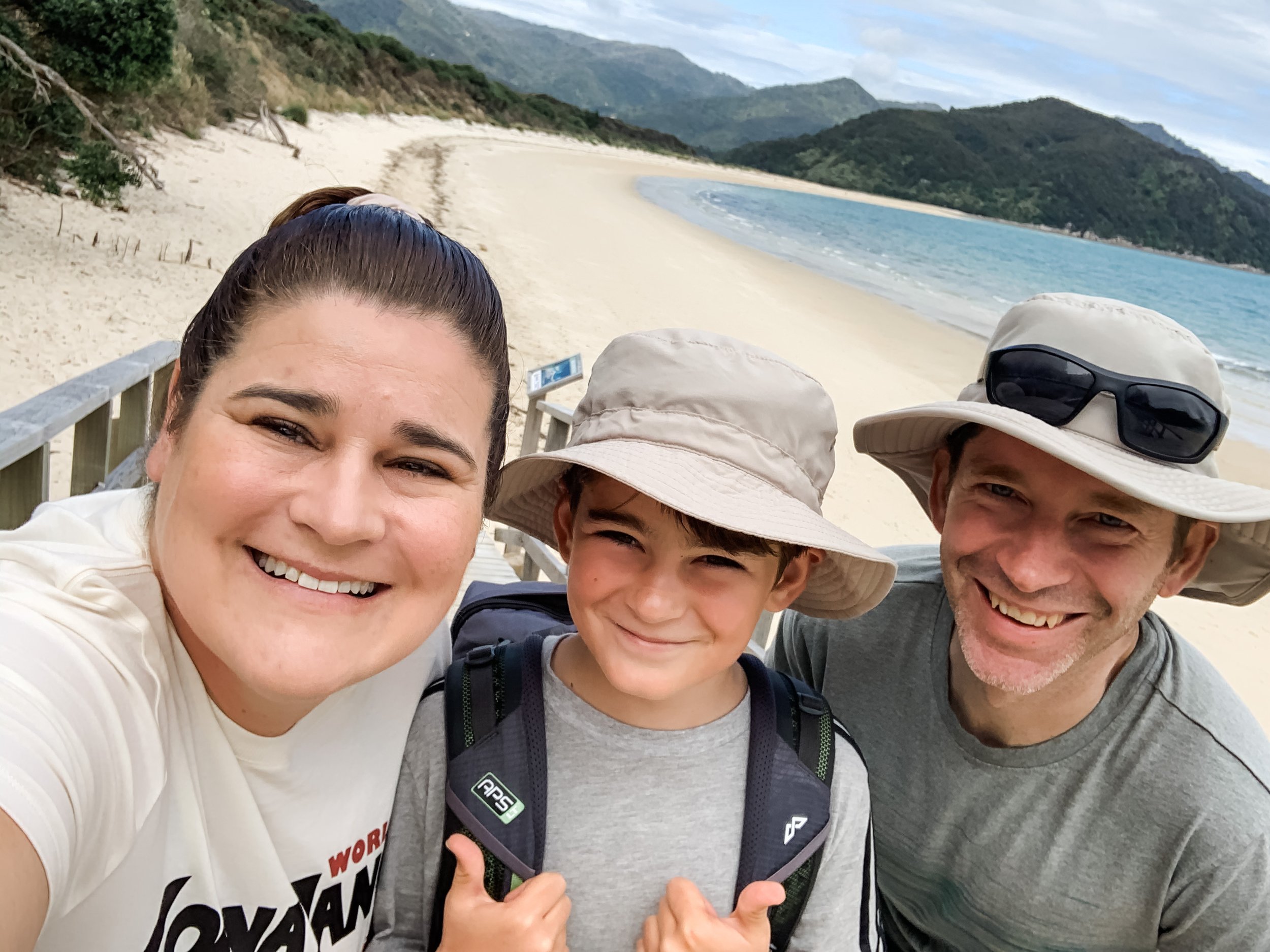
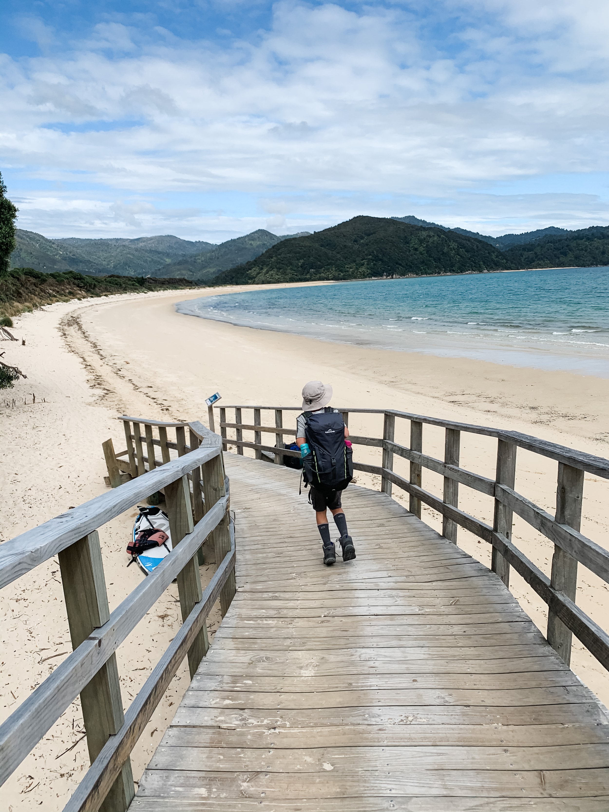
Drop bags to Water taxi in Marahau by 9am, then start walk to Anchorage Bay (12.5kms / approx 4hrs). Bags were sent to Awaroa ahead of us. The walk was spectacular and relatively easy, we were picked up by our Aqua Taxi at 1.45pm and taken to Awaroa, which meant we had most of the afternoon to enjoy there. We swam at the absolutely INCREDIBLE Awaroa beach (look up the history of this amazing spot!) and had pizza for dinner at the Pizzeria.

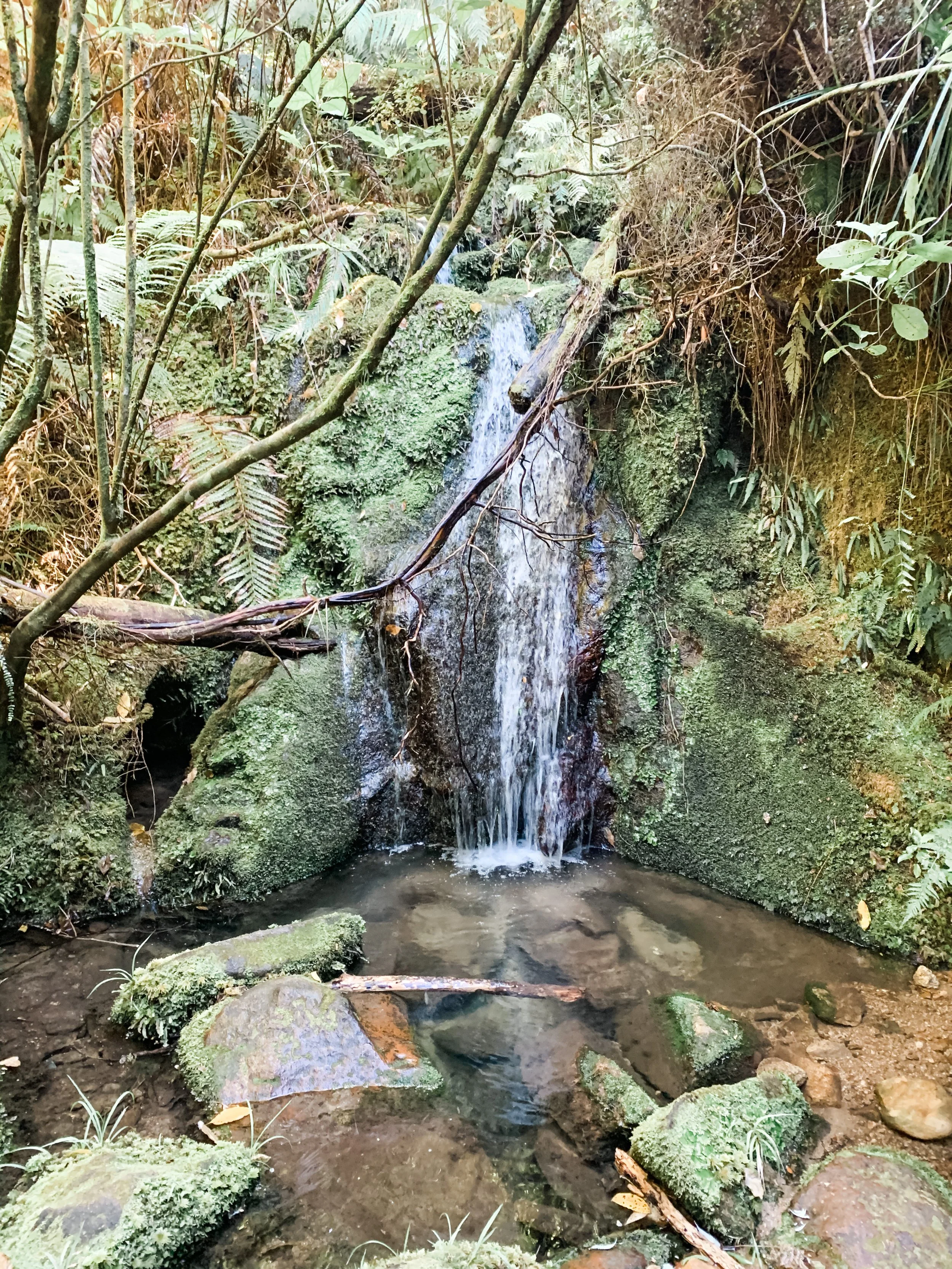
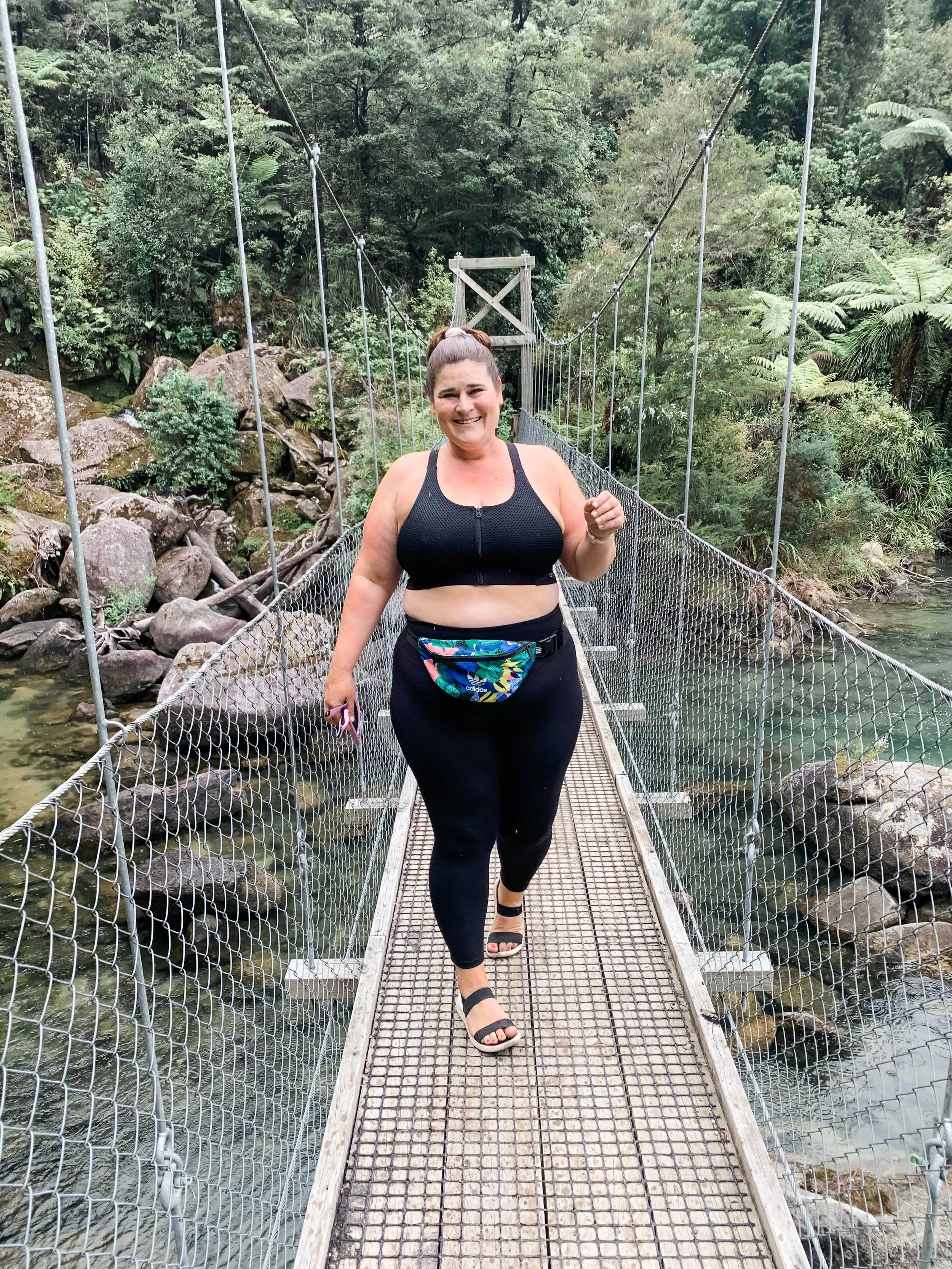
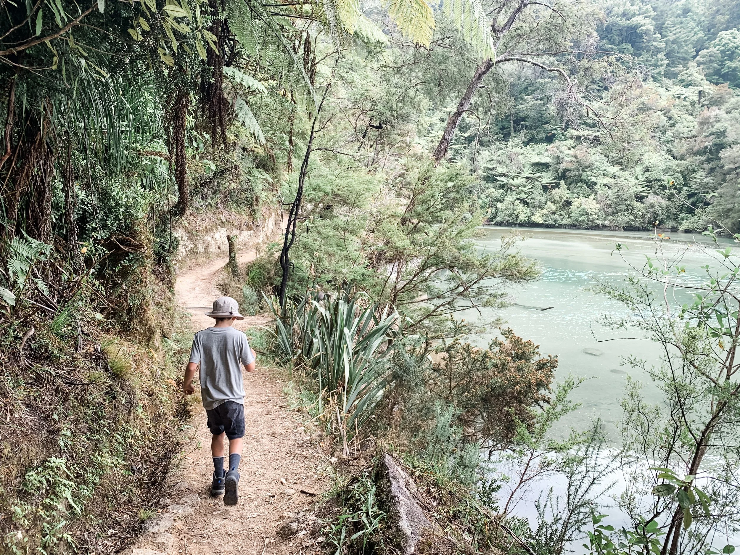

Day 2: Bark Bay to Awaroa (skipped Anchorage to Bark Bay)
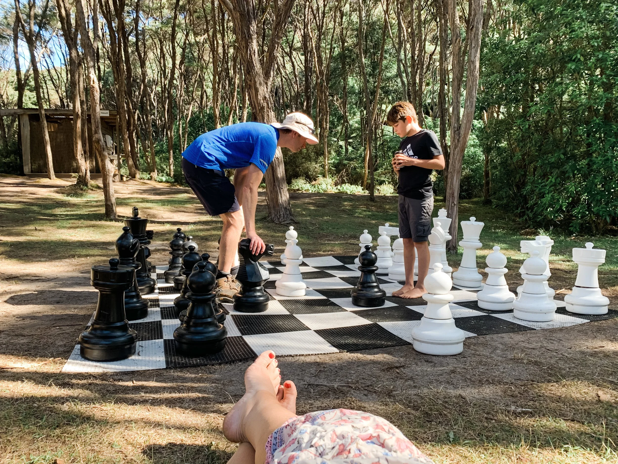
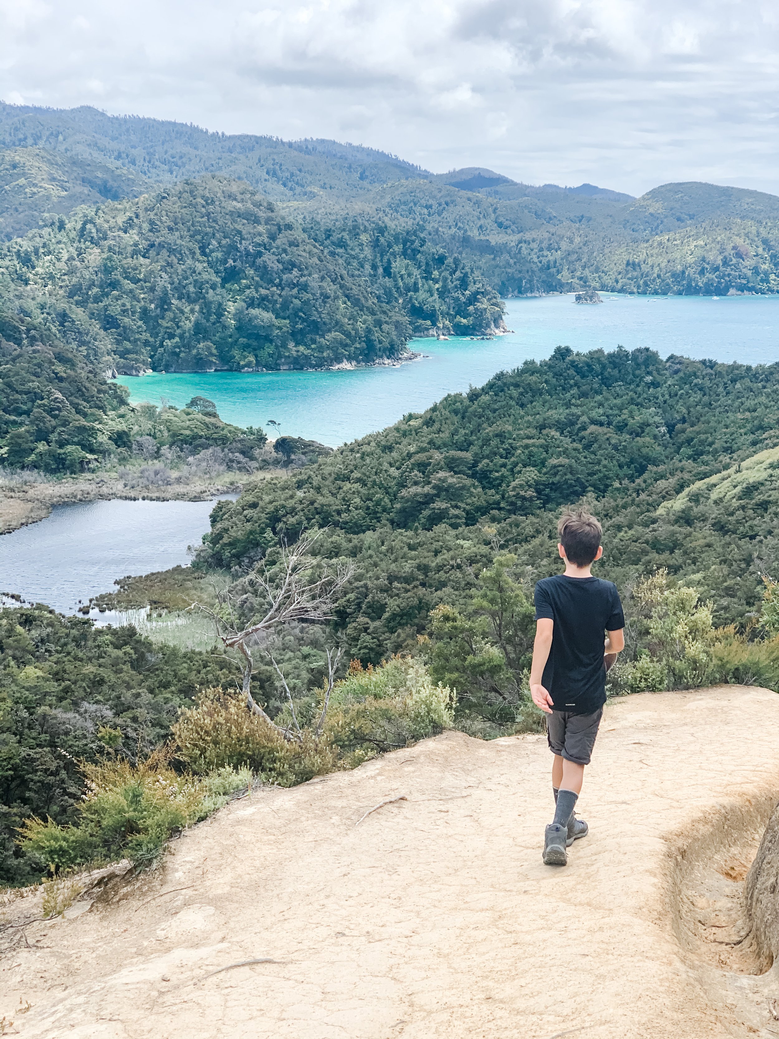
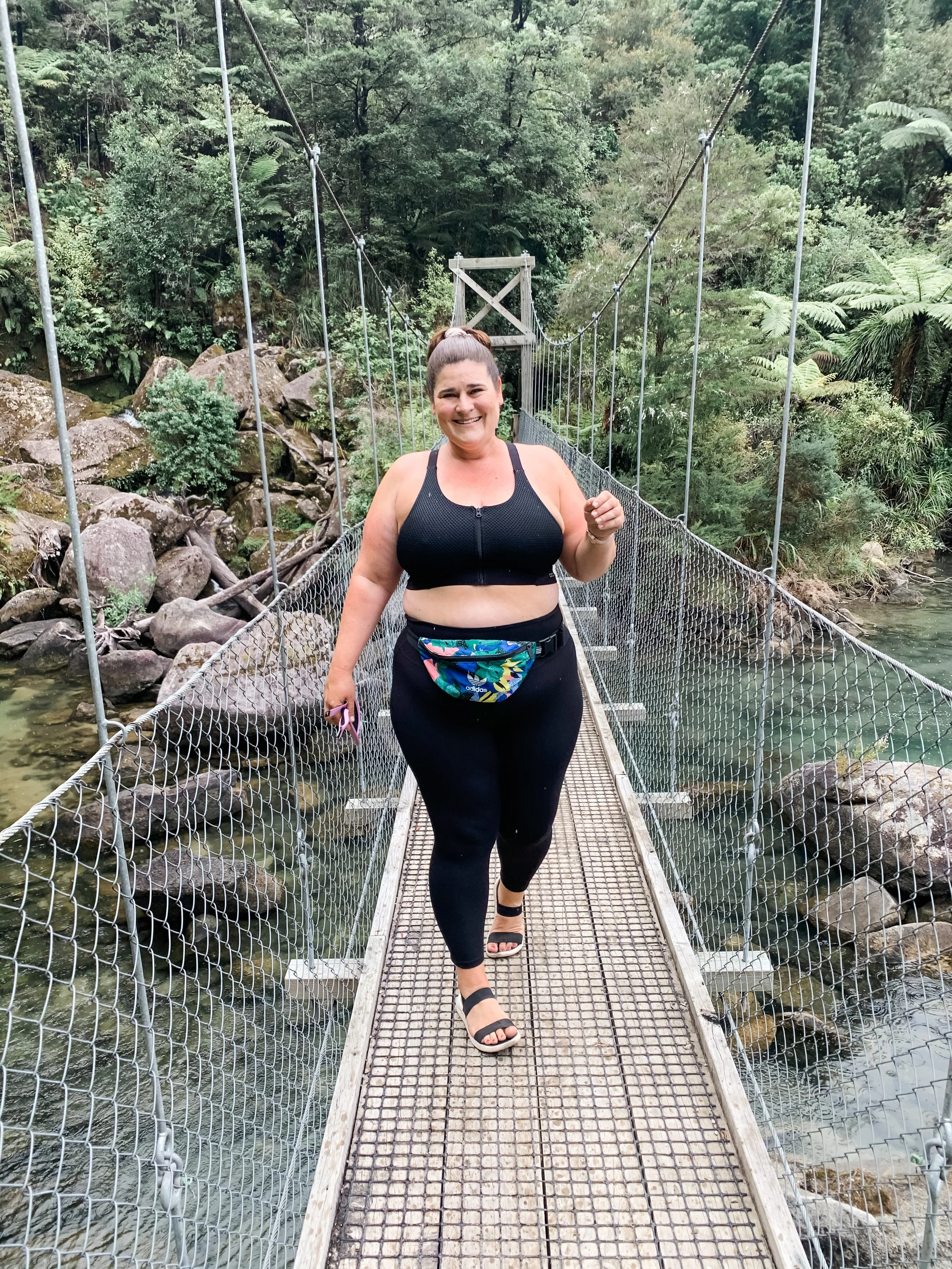
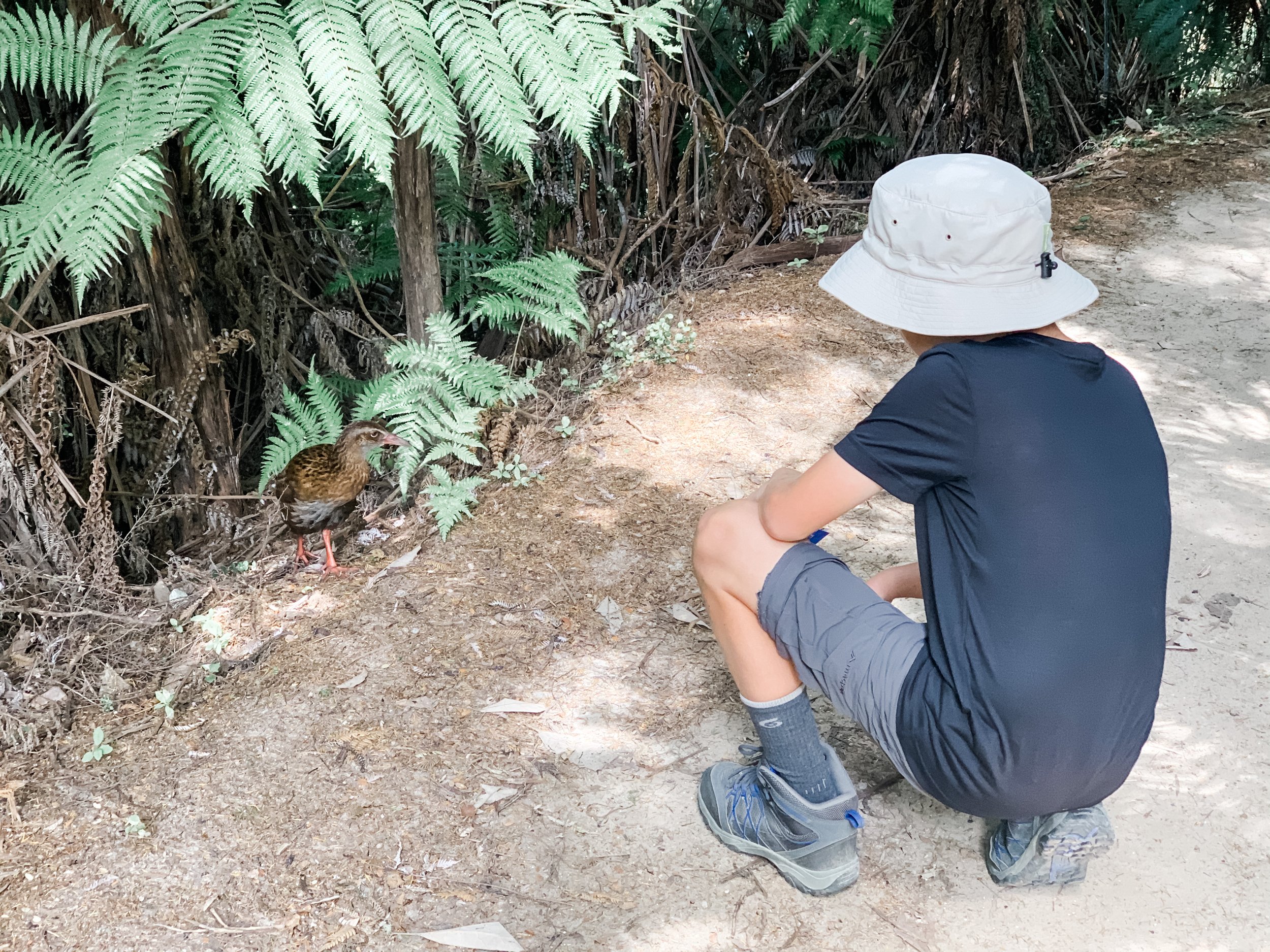
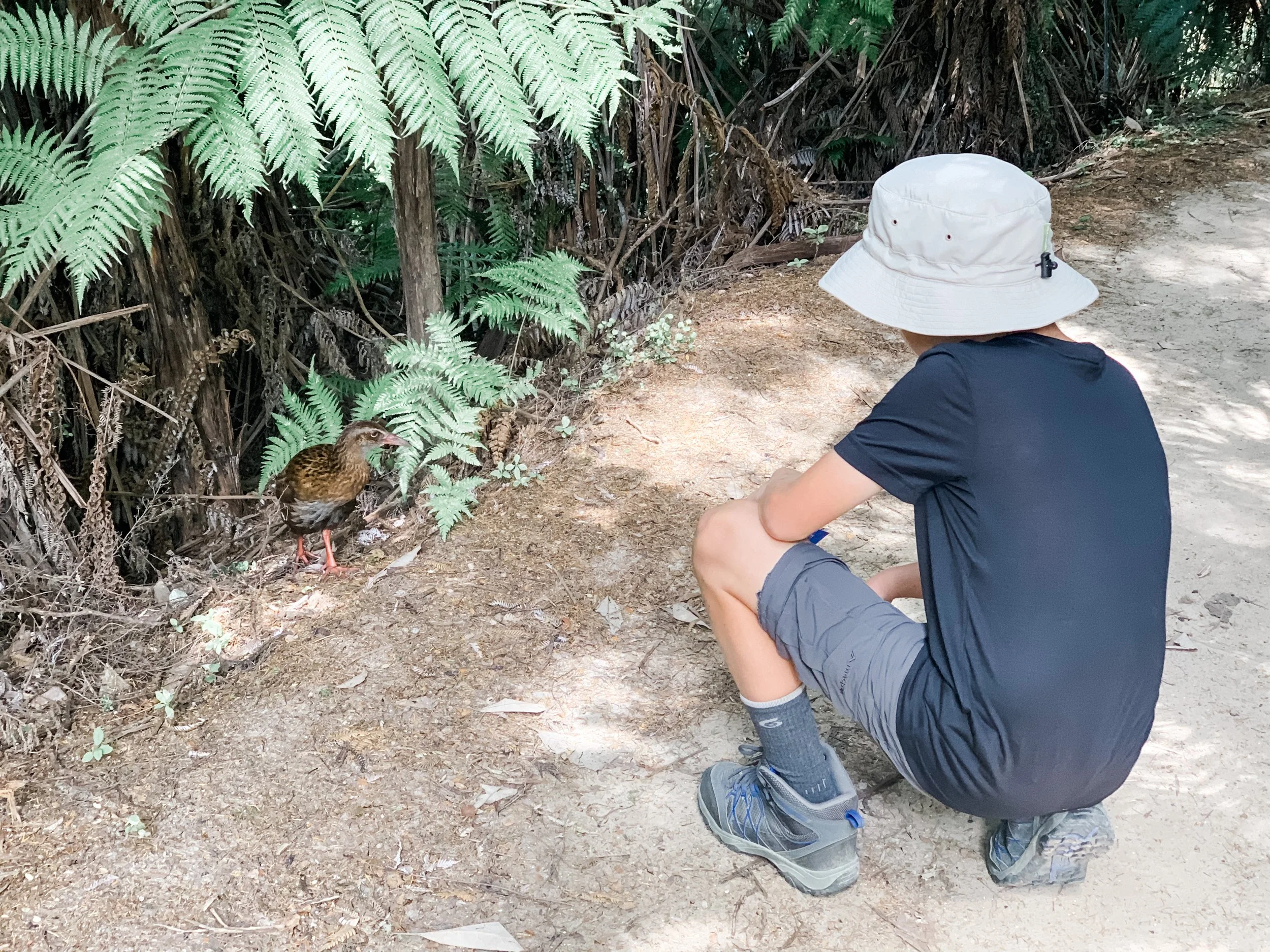
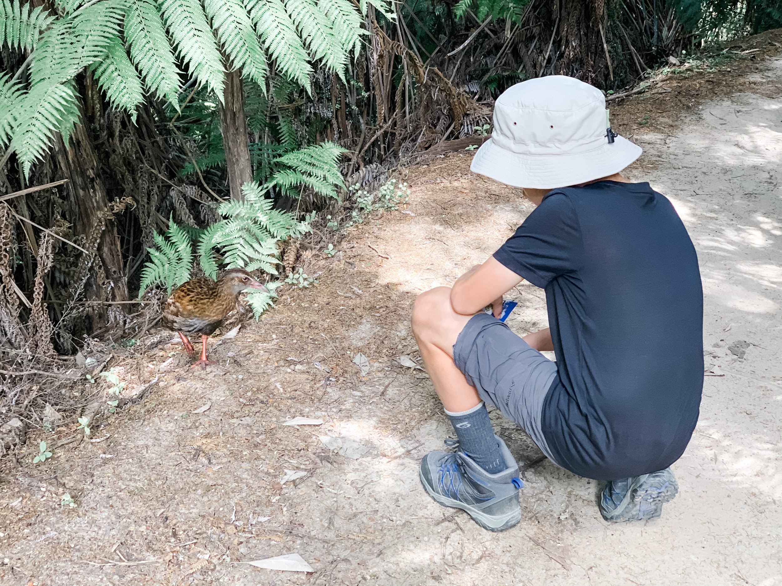
We caught our Aqua taxi at 10.30 to Bark Bay, which ended up going on a big tour of all sorts of places (not planned) so we didn’t get there until after 12pm. We weren’t too concerned as we had all day to make our way back to Awaroa lodge. This day was a harder walk, with several uphill sections, most notably just outside of Bark Bay. This was our favourite day though, although more challenging the track was quieter, the scenery amazing and lots of cheeky little Weka and wonderful bird life. We made it back to Awaroa in time for a cold cider at the Pizzeria and a game of outdoor chess, followed by an incredible dinner at the restaurant.
Day 3: Awaroa to Totoranui
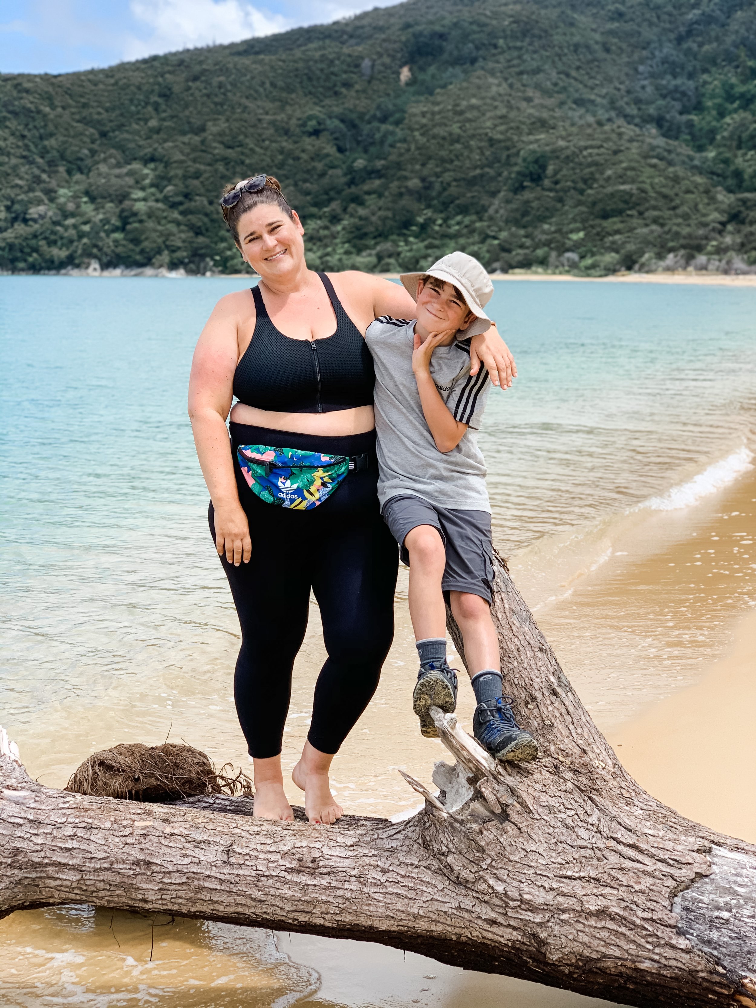
We had planned to walk for 3 days (walk Awaroa lodge to Totoranui and then water taxi back, 7kms) but we instead decided to spend the day at Awaroa beach. We knew we would be leaving the next day and hadn’t allowed time to just relax and spend time at the beach - and I’m so glad we decided to do this. We spent the most amazing morning at the beach, swimming multiple times, building dams in the estuary and bathing in the 24 degree sun (with plenty of sunscreen of course!!). It was one of the best days in recent memory. If you stay at the lodge, make sure you allow some time to do this.
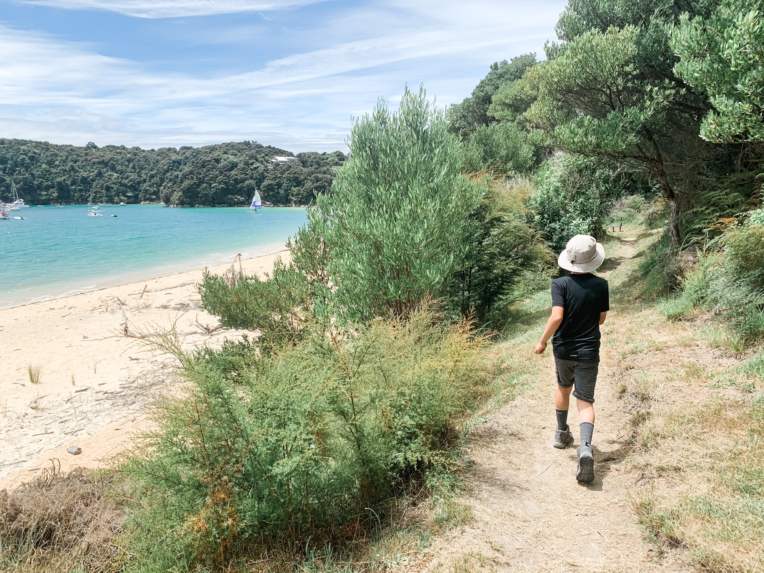
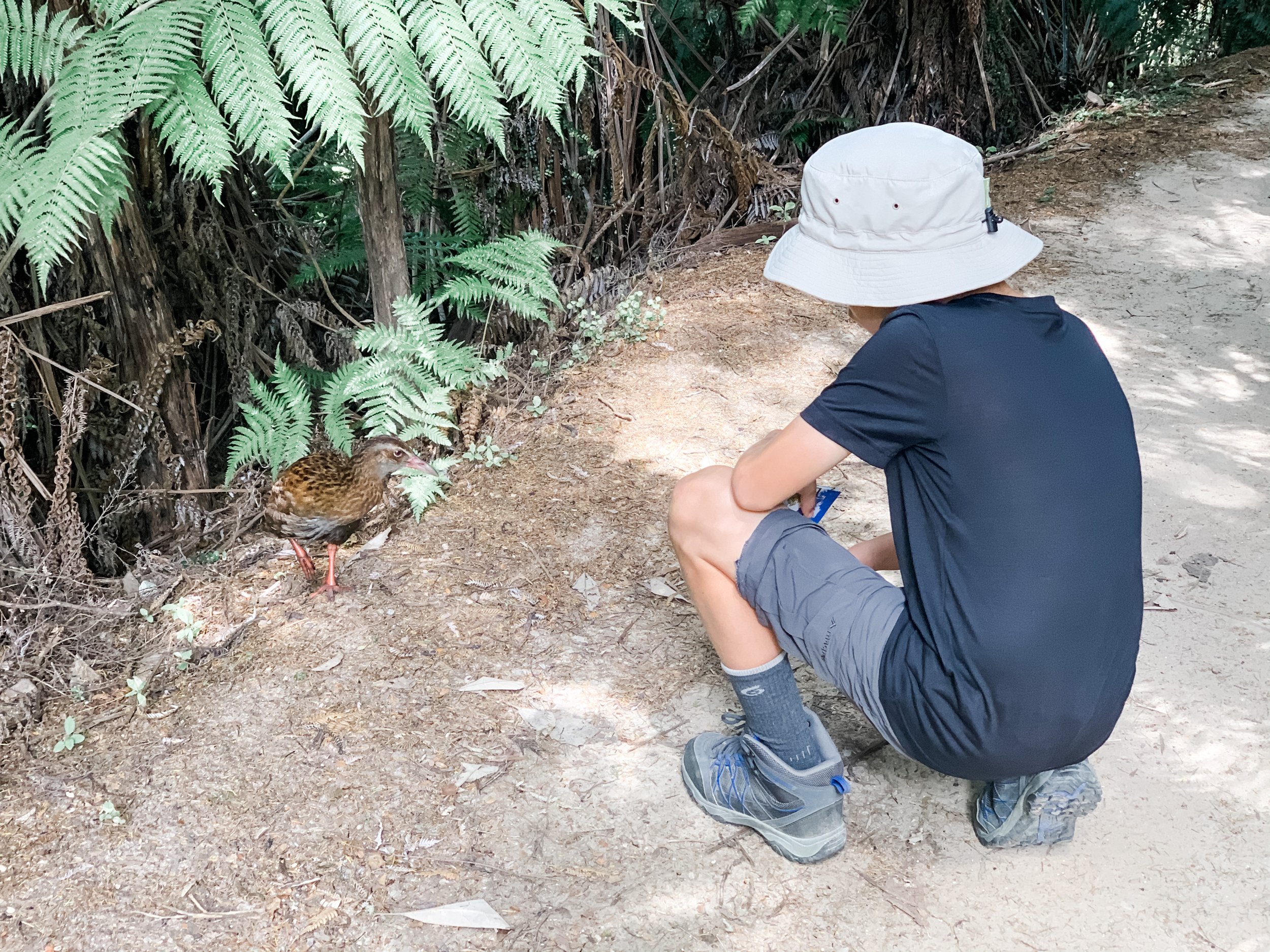
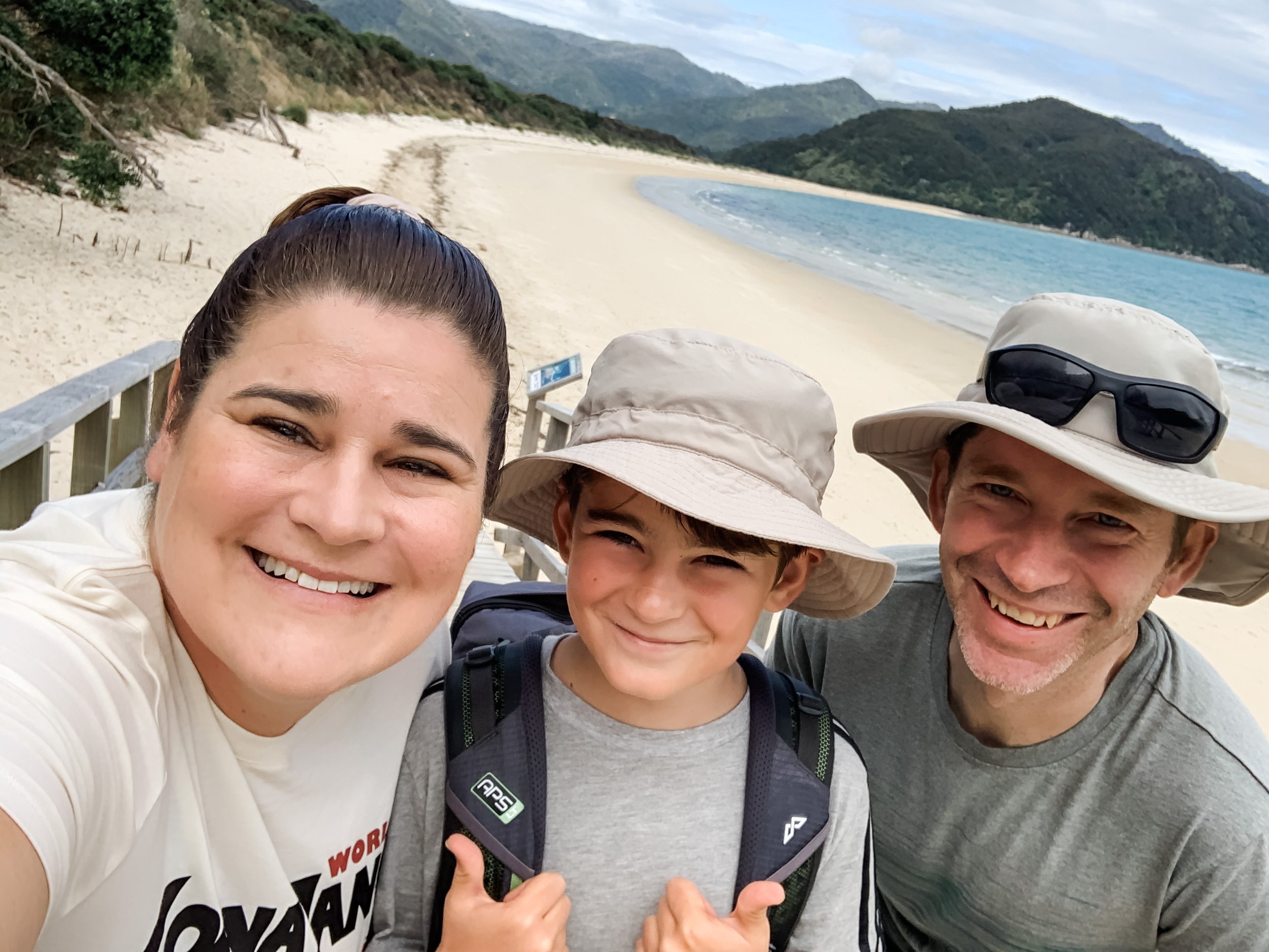
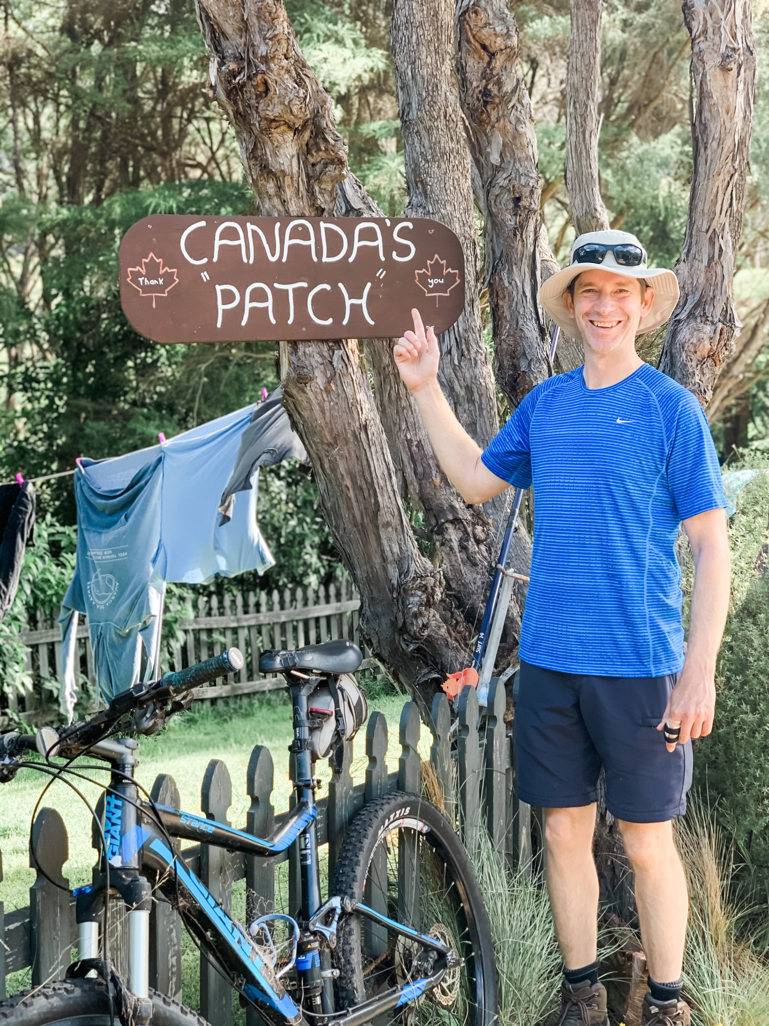
Day 4: Awaroa to Marahau
We opted for a late aqua taxi at noon, which got us back to Marahau at 1.30pm. We then drove to Canvastown for the remainder of our trip.
Abel Tasman Tips:
1. The first step is deciding which portions of the walk you want to do. I found this map handout from DOC particularly handy.
2. Decide whether you want to carry all of your belongings and sleep in the doc huts or campground along the way, or whether you want to water taxi in and out. Doing it the later adds significant cost, but for us was worth it. Once you have this decided, you can look for accommodation either in Kaiteriteri or Marahau or stay in the park like we did, at Awaroa Lodge.
3. Make sure you book any water taxi’s in advance.
4. Take your own fixings for lunch & snacks.
Hiking The Pouakai Crossing, Mt Taranaki
I think the Pouakai Crossing is one of New Zealand’s best kept secrets, and so underrated!
Maybe it’s because Taranaki sits out of the way on the West Coast of the North Island and is a destination rather than somewhere you can just ‘pass through’, so people really need to have a reason to come here. Well look no further avid hikers, because this day hike is nothing short of spectacular. There is a natural comparison between the Tongariro Crossing and the Pouakai Crossing, being similar distances and both being on mountainous terrain, but I think that is where the similarities end. While Tongariro is rugged and other wordly with rocky and dessert like terrain, Mt Taranaki is lush & green with a varied landscape - and it’s much less crowded. We actually didn’t see another soul for the first 3hrs.
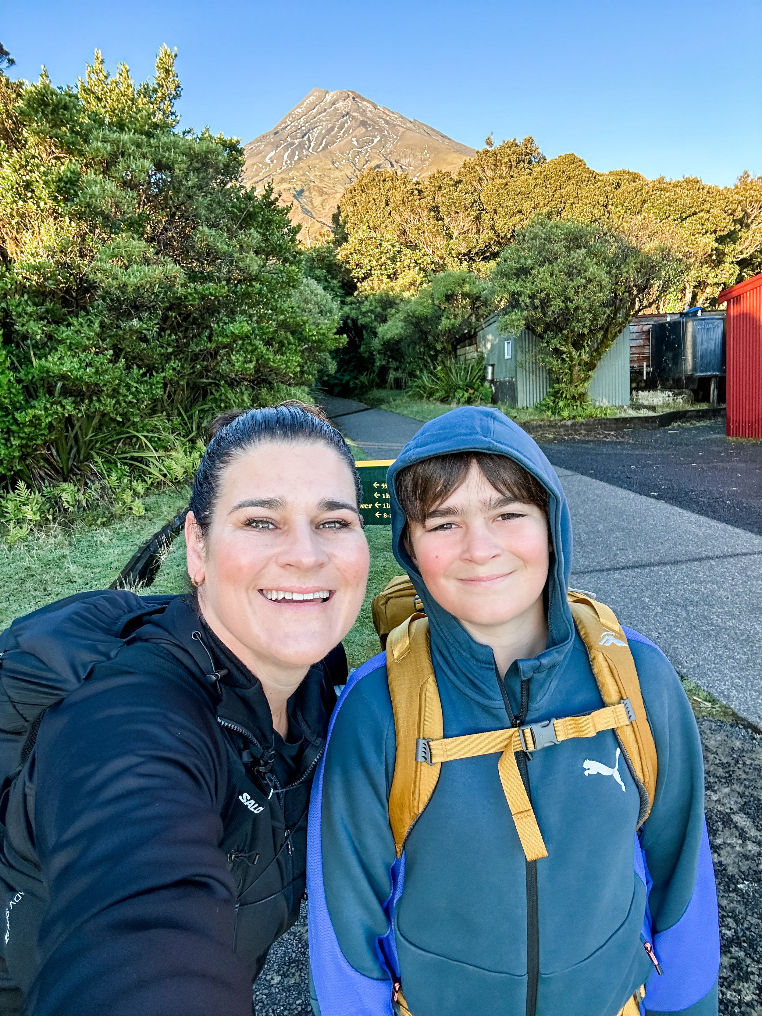
It has been a big goal of mine to complete this walk, and in early April my son and I decided it was time. Being lucky enough to live not far from the mountain, we were able to stalk the weather and head up on a day that looked like it was going to be clear. There are no guarantees on the mountain, but we hit the jackpot with the weather. It was a magic, beautiful clear sky day. Before I dive into telling you all about it, I also have an instagram highlight reel if you’re keen to check that out, look me up @mybalanceproject.
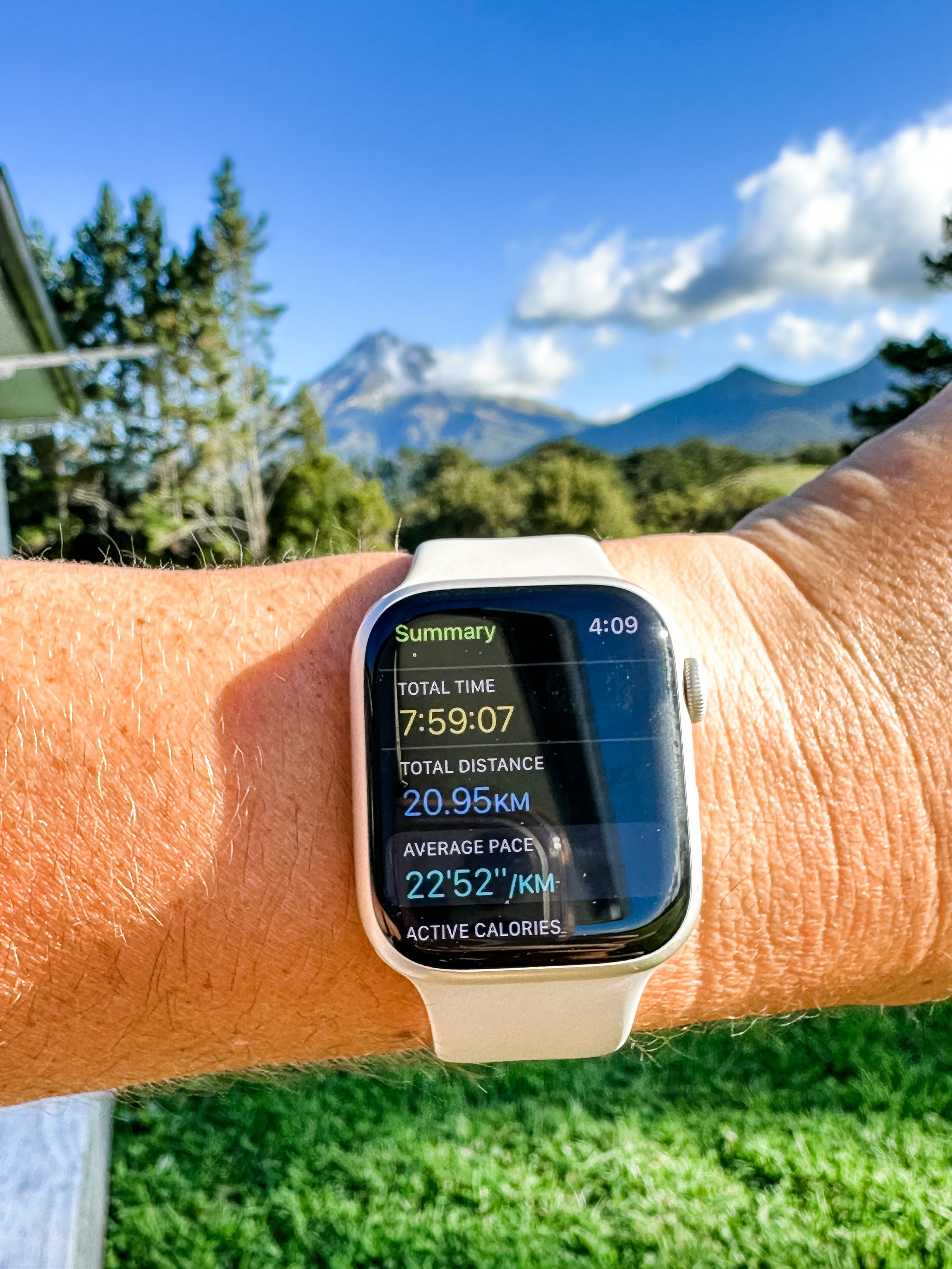
The Crossing is officially 19kms one way (although my Apple Watch put it at 21kms), starting from the North Egmont Visitors Centre, and ending at the top of Mangorei Road. You can walk it in reverse, but there is less uphill if you start from the Visitors centre.
The crossing starts from just above the visitors centre, look for the Veronica Loop Track. The walk is made up of three main sections: Visitors Centre to Holly Hut (3-4hrs), Holly Hut to Pouakai Hut (2hrs) and Pouakai Hut to Mangorei Road (2hrs). You can also of course add on Pouakai tarns which is about an additional 20 mins.

7am Departure! 7 degrees.
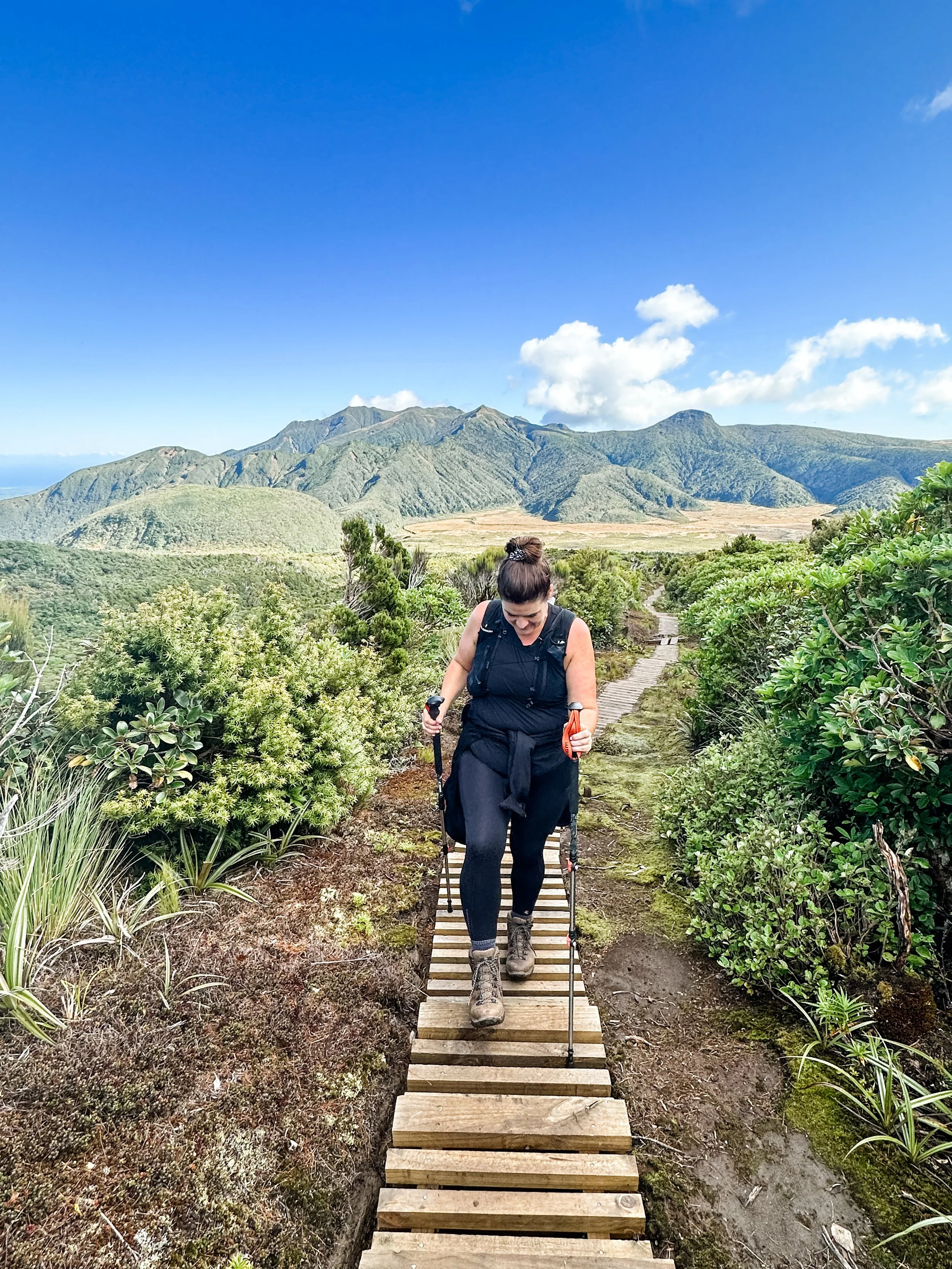
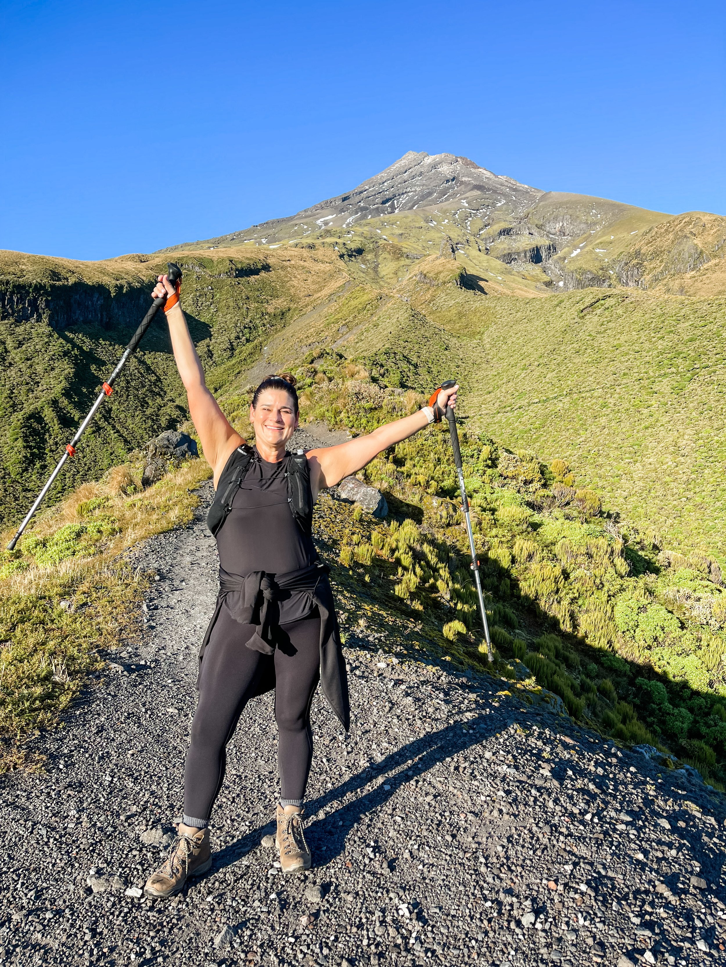
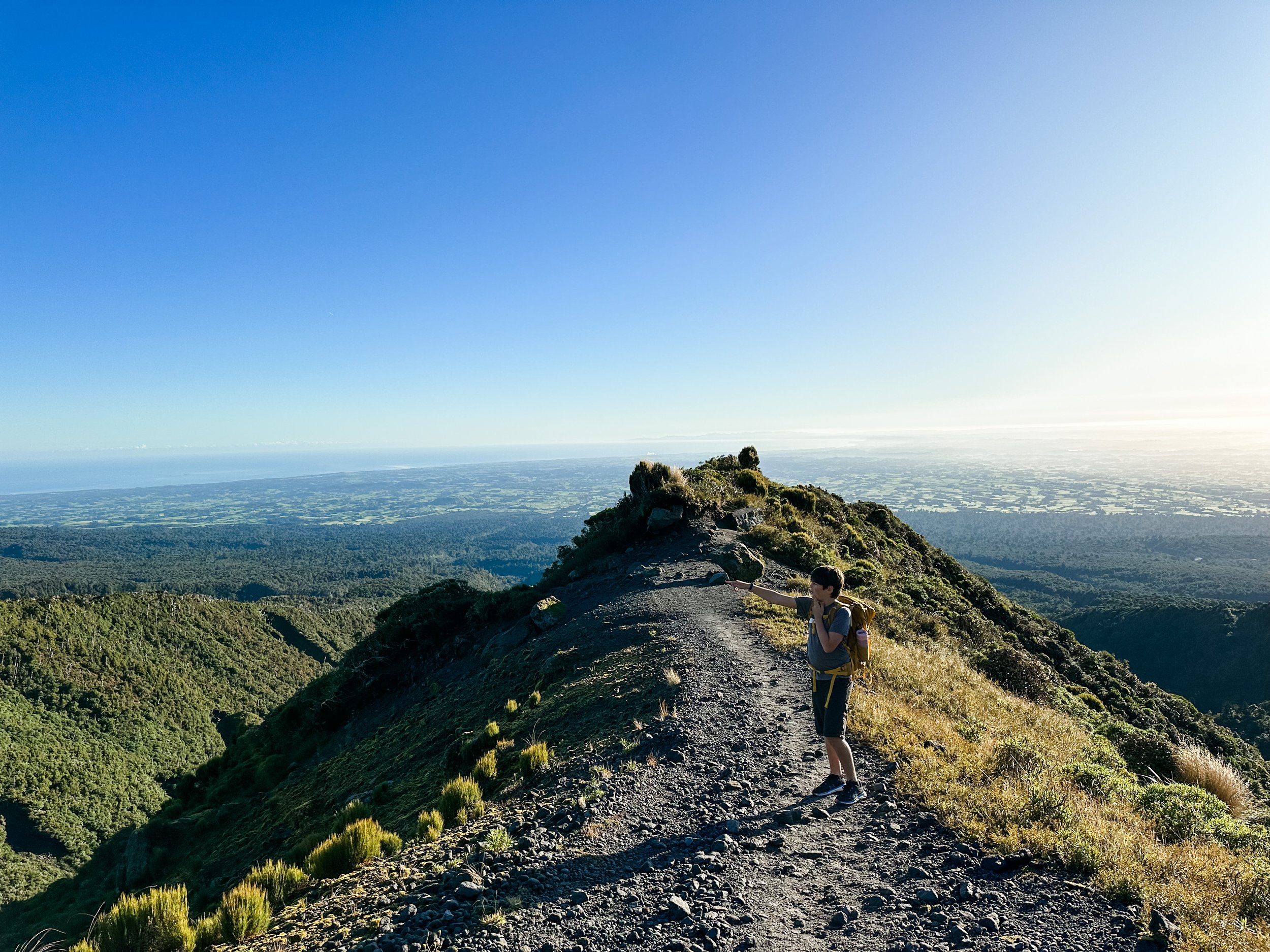
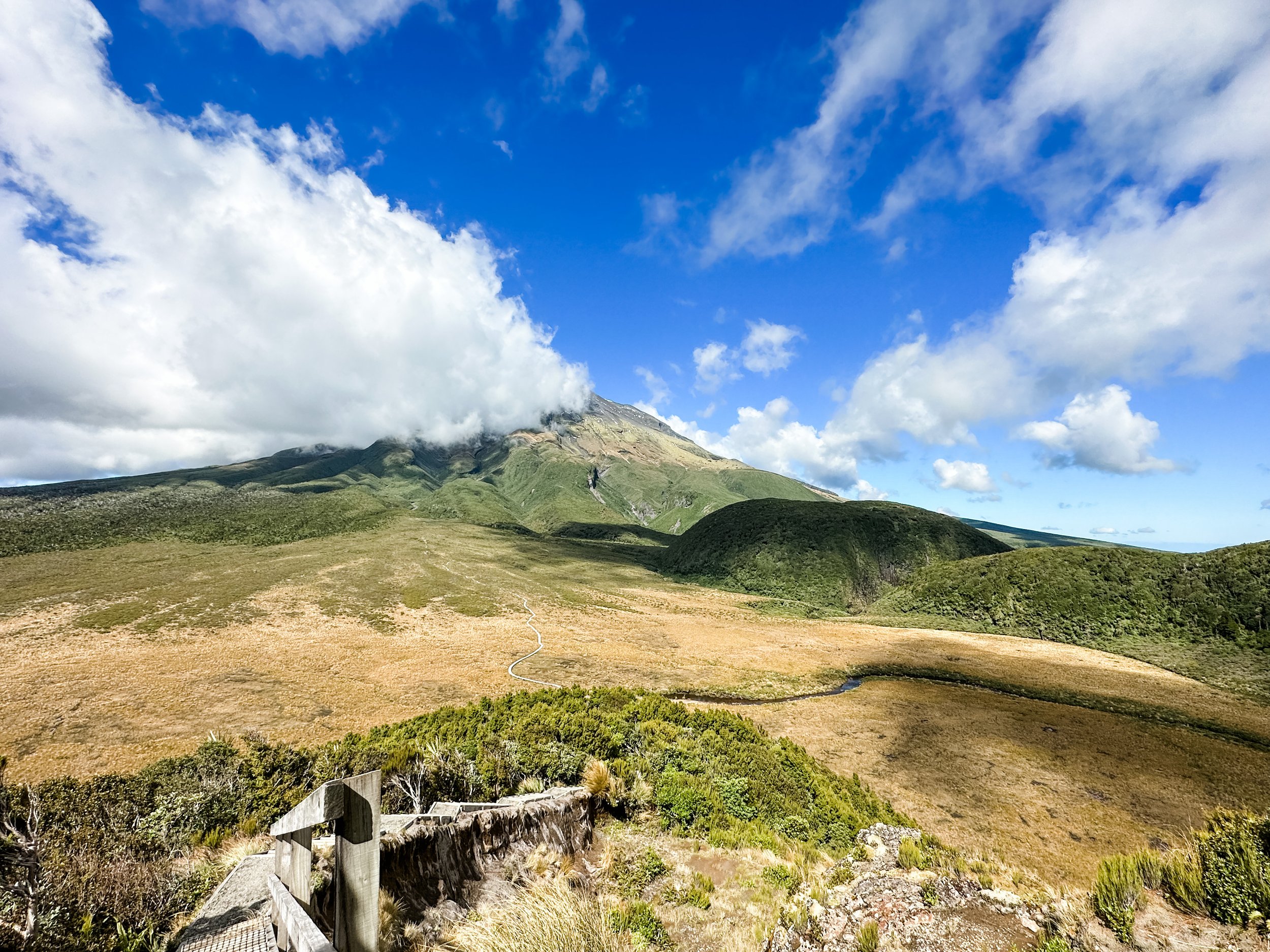
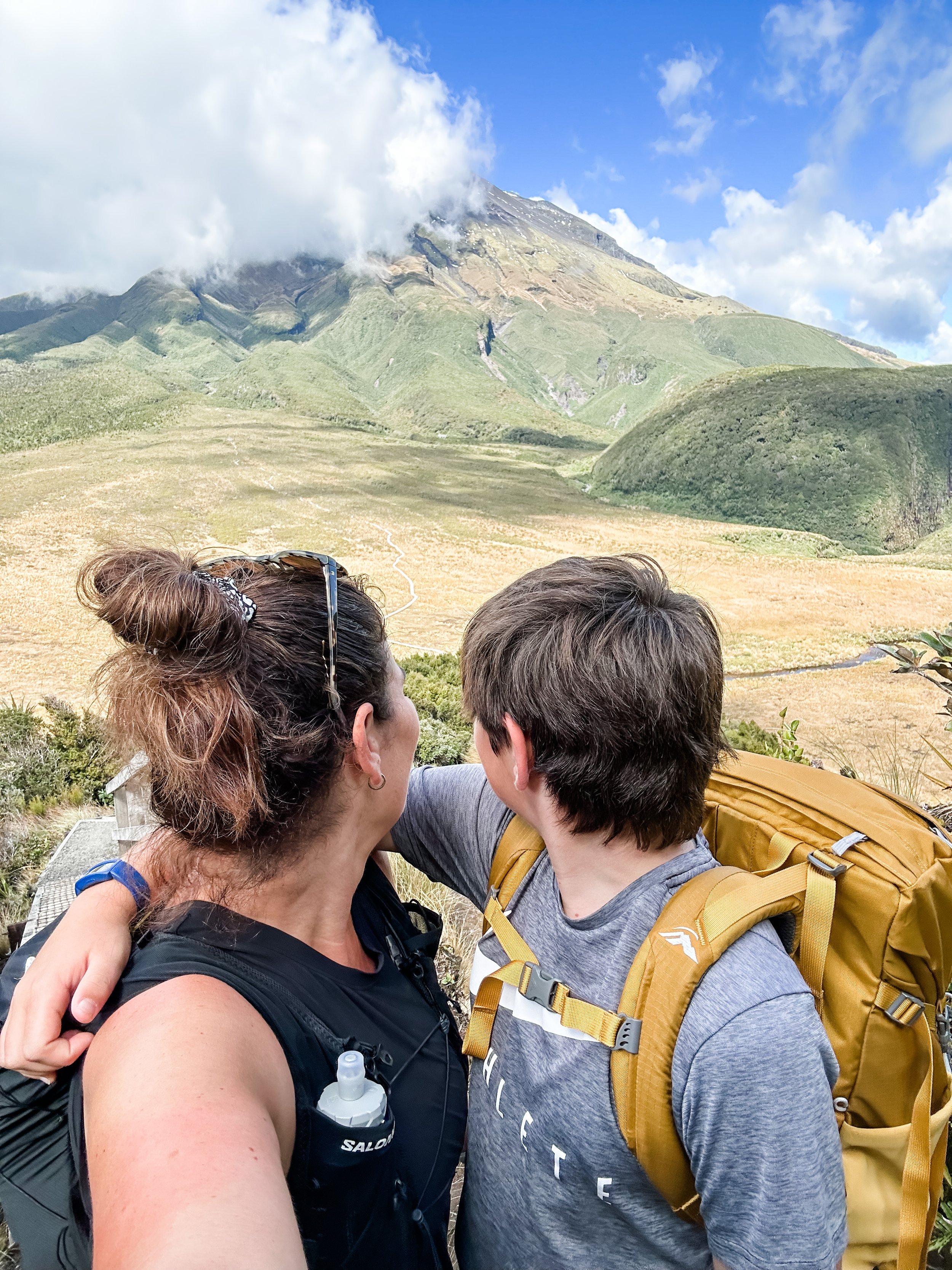
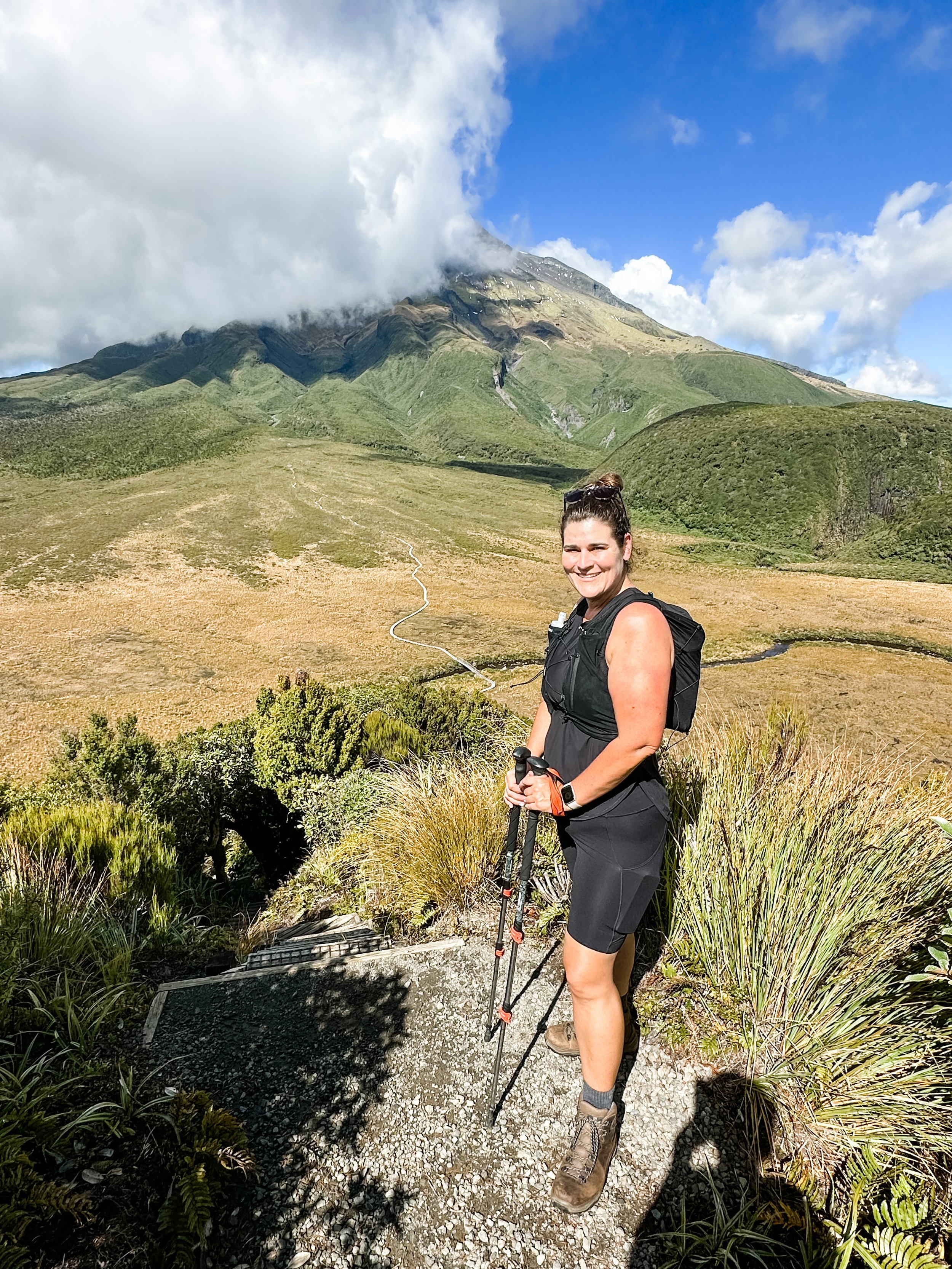
We decided to start early at 7am so that we would beat any heat and just give us the whole day to tackle the walk. The Veronica Loop is a beautiful track that starts with a steady and steep ascent through alpine rainforest, it’s a really pretty track with lovely views back out over Taranaki. Once on the Veronica Loop, you then follow signs for Holly Hut (as you don’t want to continue on the loop around back to the Visitors Centre!). Once we cleared the tree line we were treated to some amazing views and started to cross the mountain. The landscape was so incredibly beautiful in all directions and you can see the path stretched out ahead of you weaving across the mountain. Very cool.
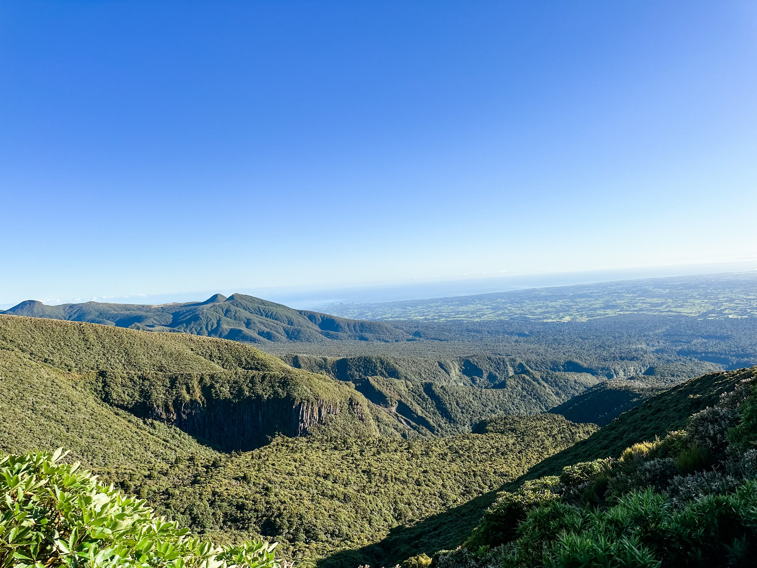
You can look straight up to the mountain or out over the Taranaki countryside and New Plymouth and the coast, it really is stunning. The walking on this section was our favourite - the track was great and most of it easy walking, with a few little technical bits and big rocks to cross, but mostly just a great track. Passing under Ambury Bluffs (huge cliffs) was a highlight, it was all so dramatic and beautiful.
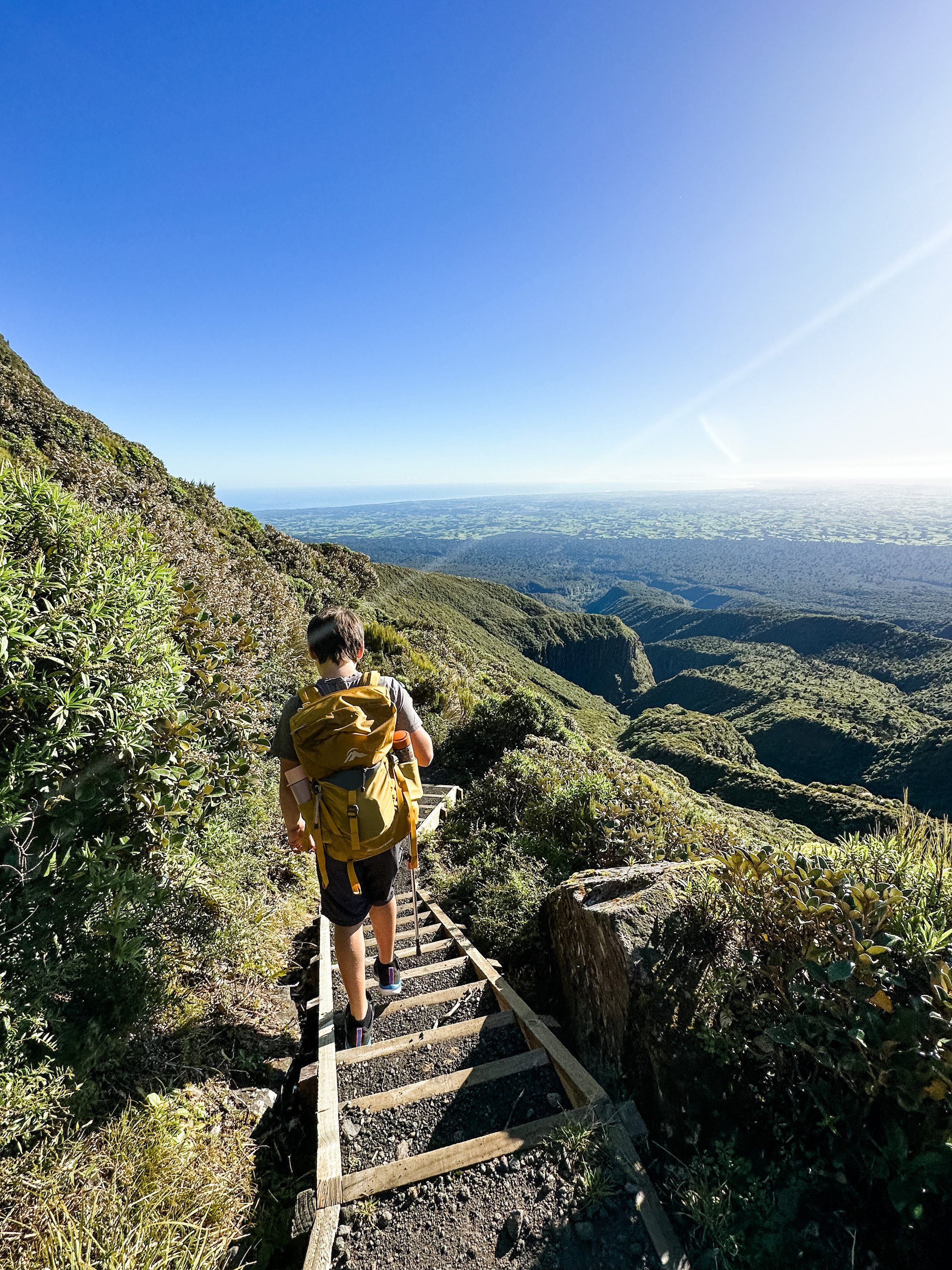
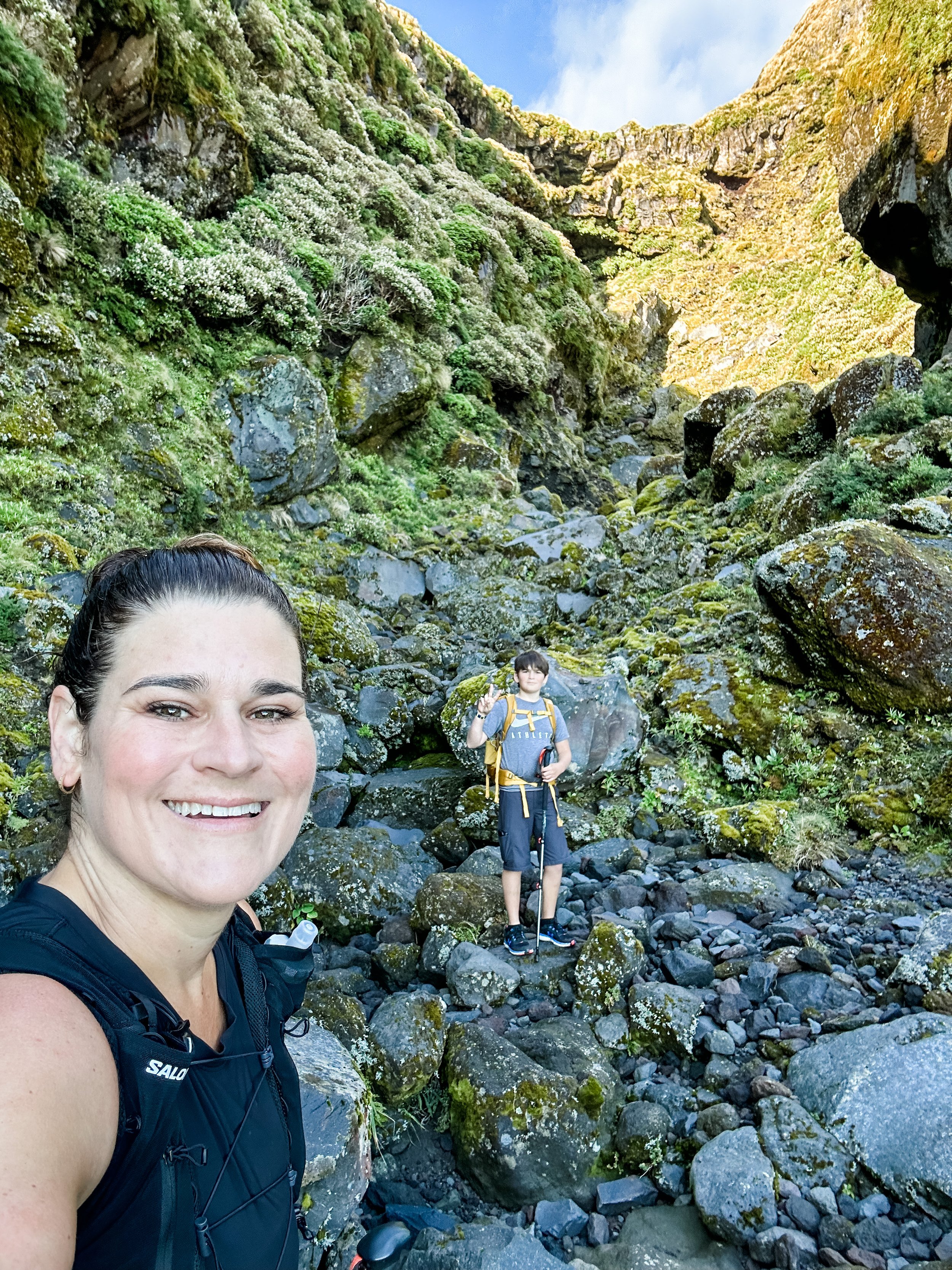
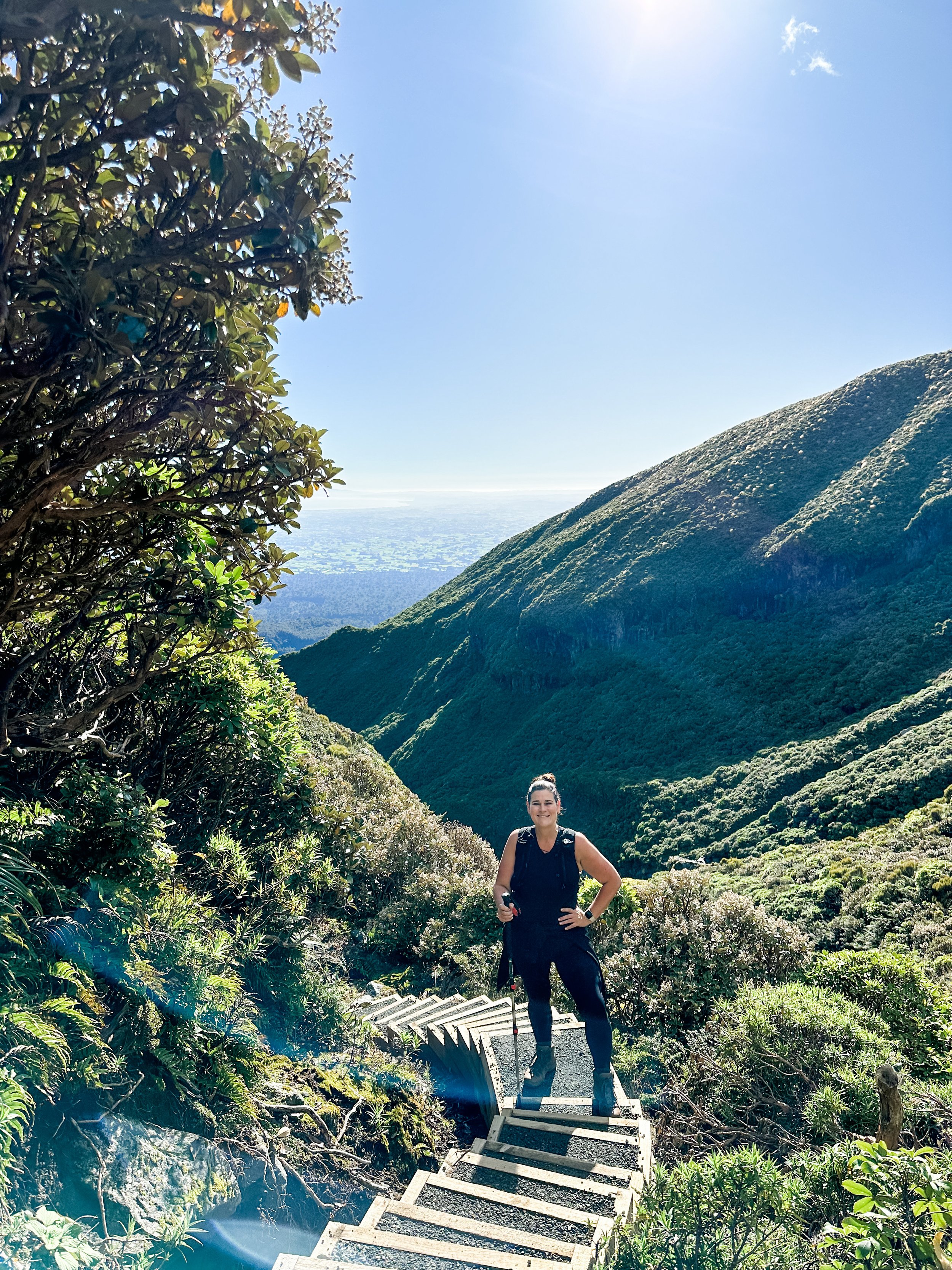
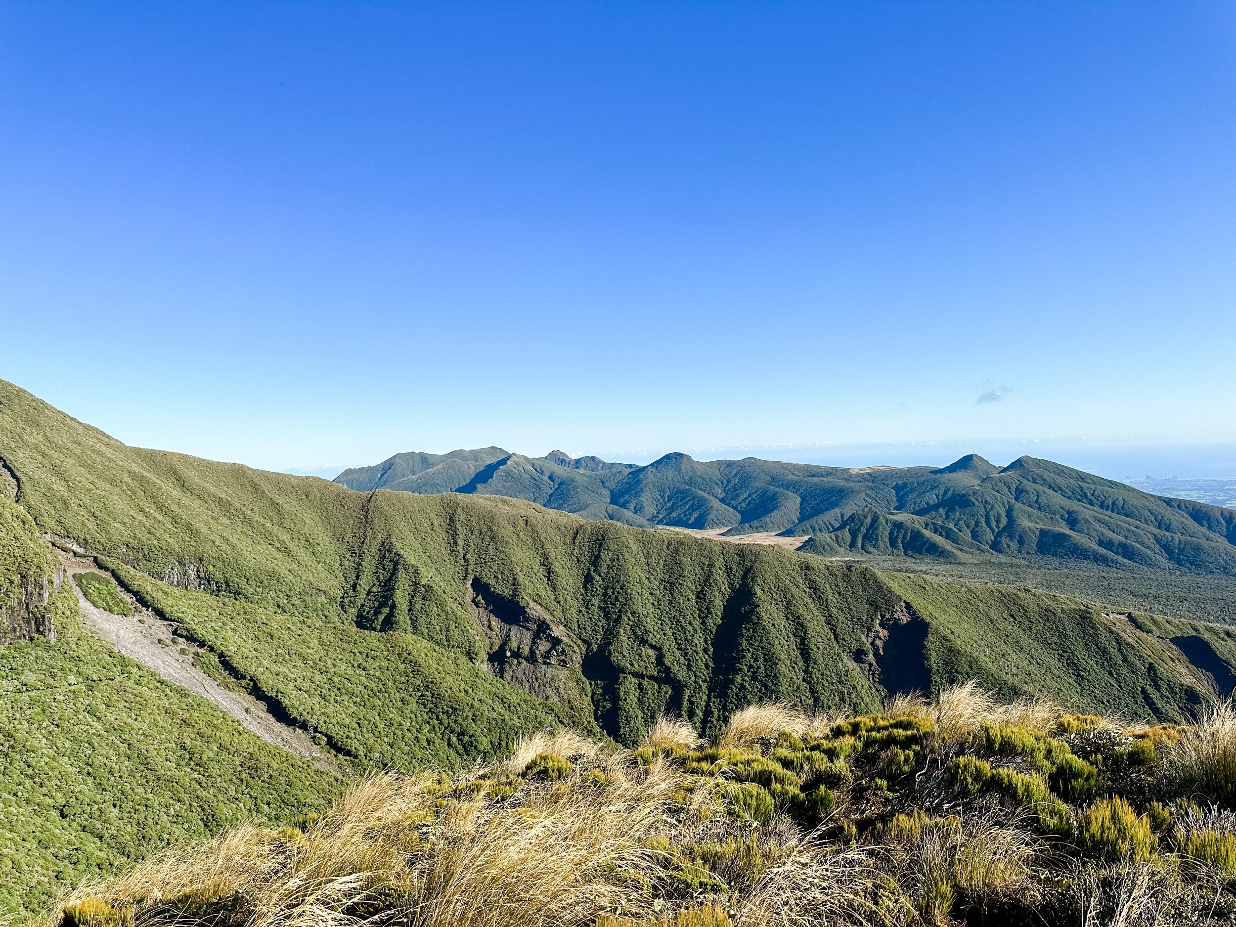
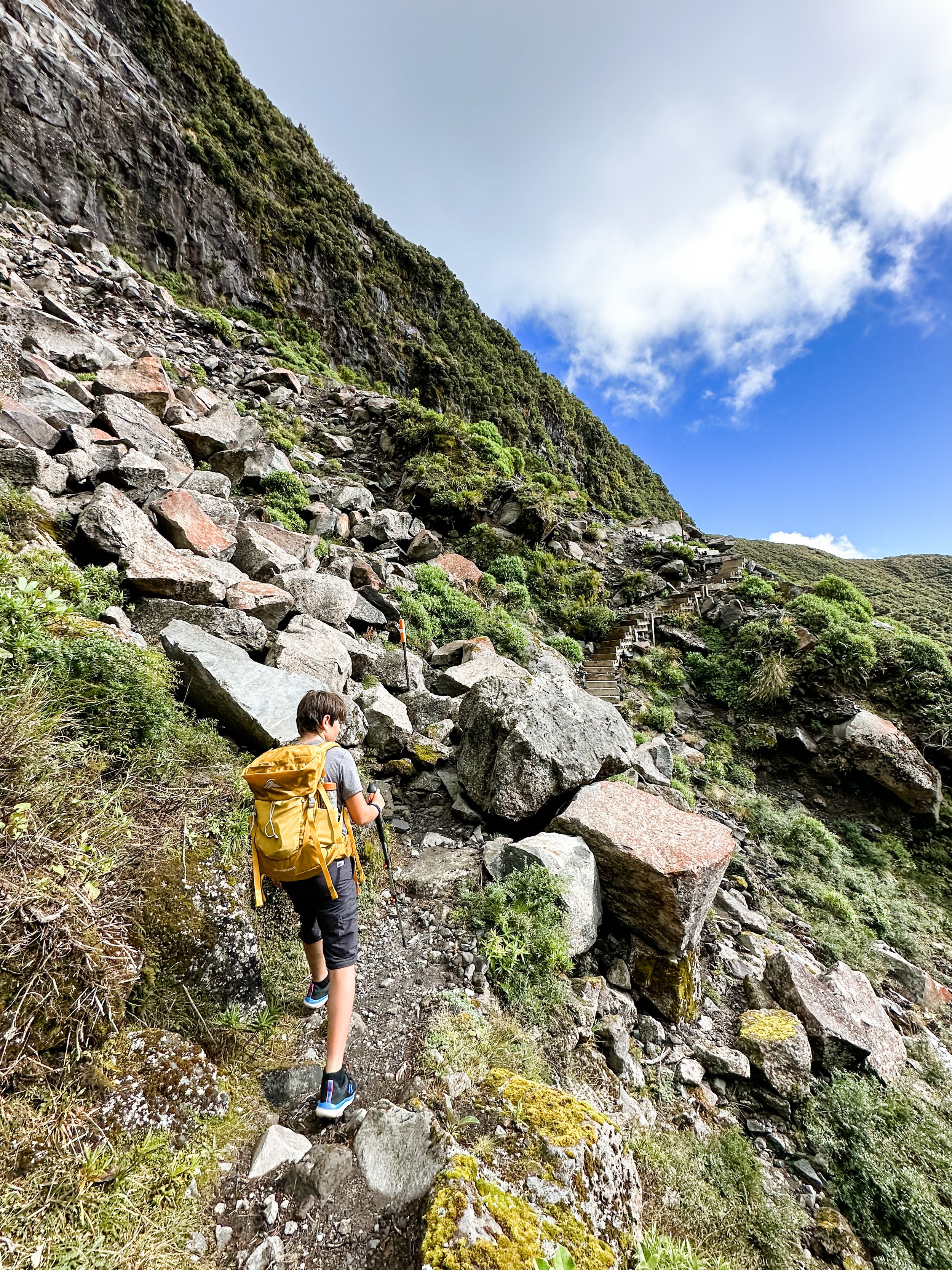
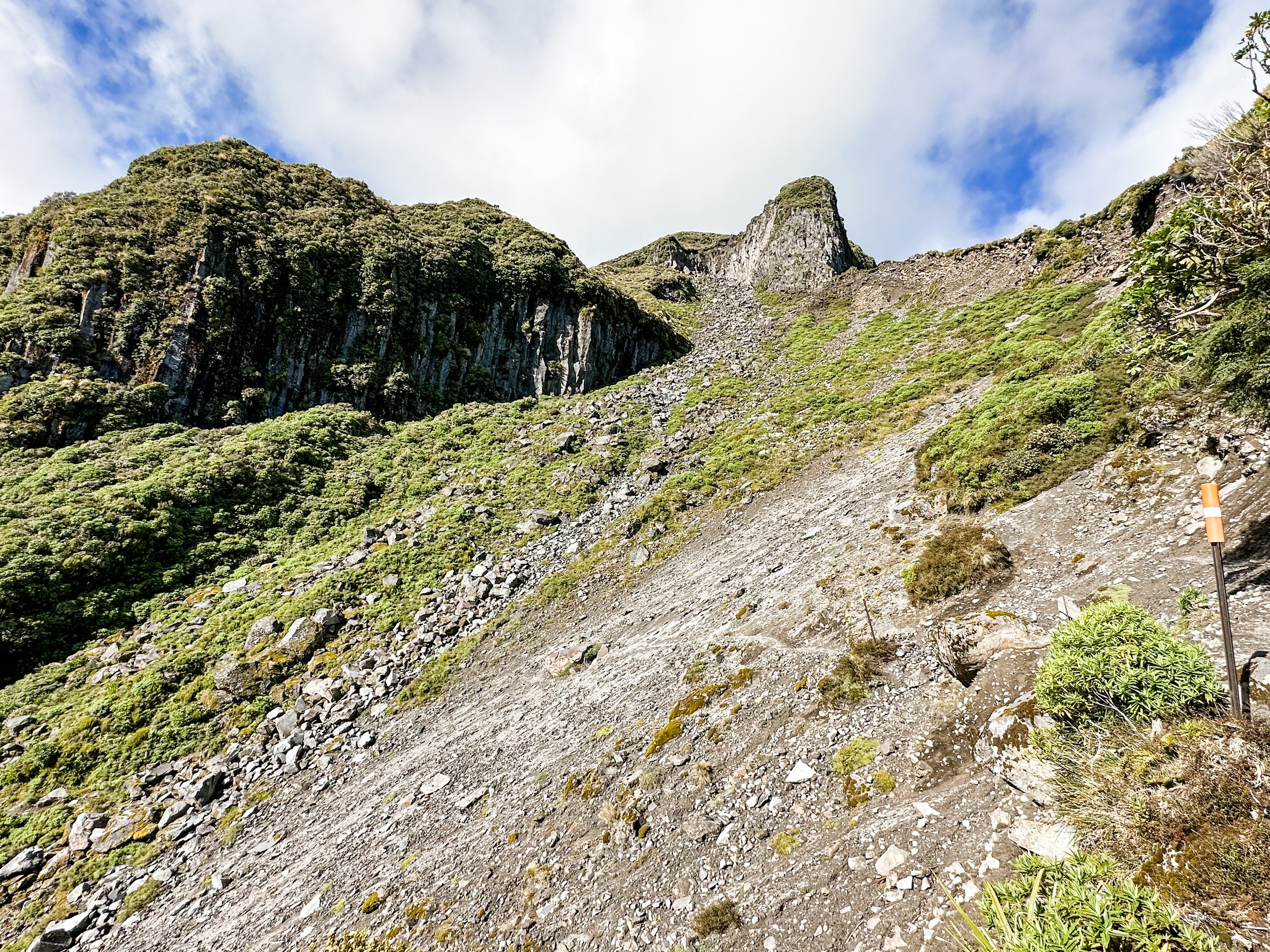
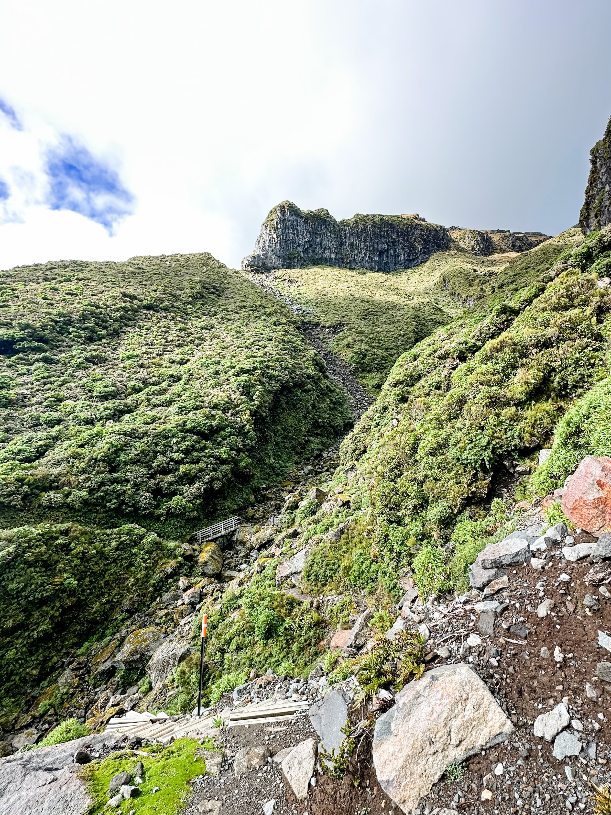
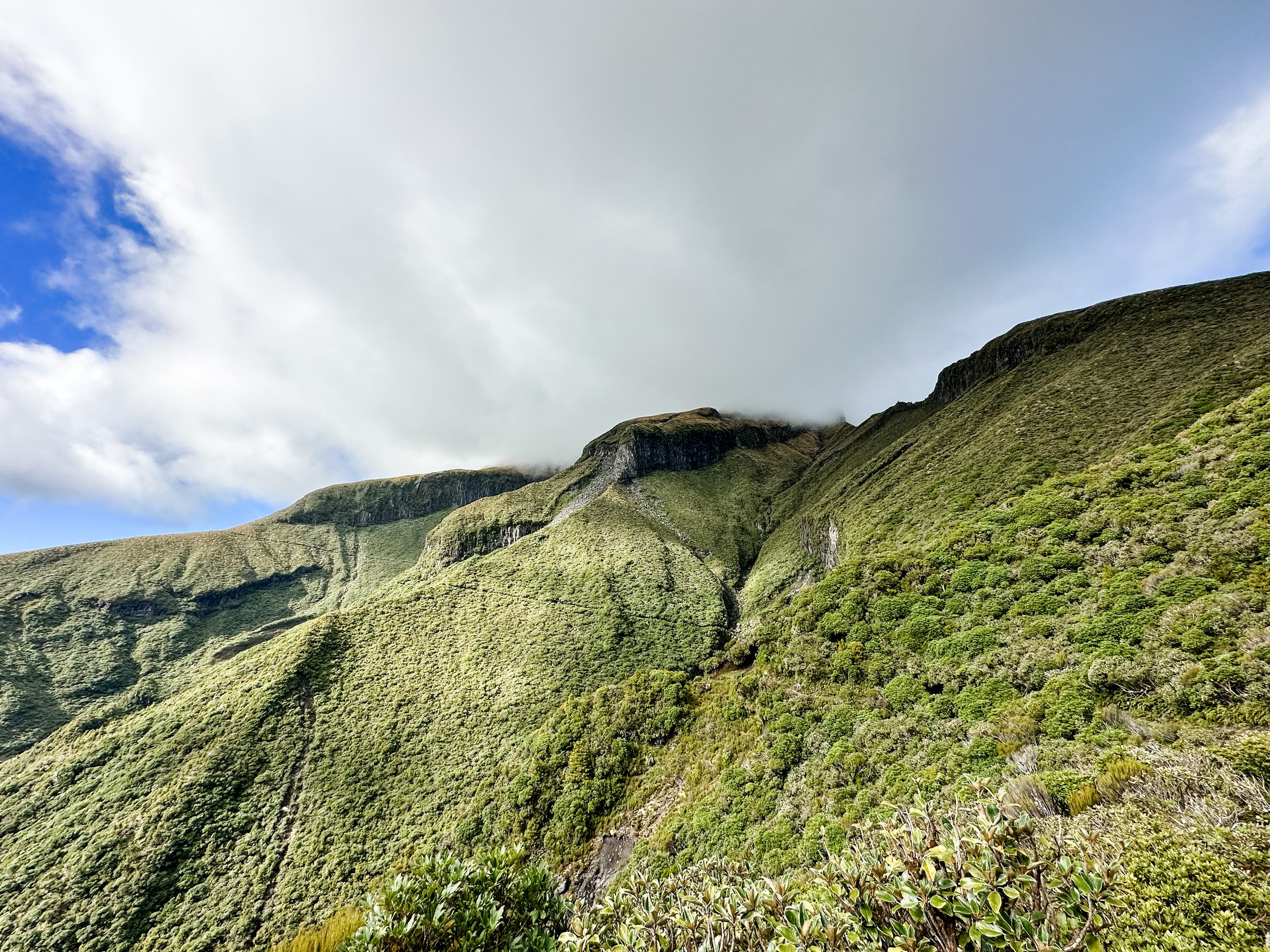

Look closely for the path, Boomerang Slip
The biggest thing to note on this section is a few hours in you have to cross Boomerang Slip. I had read about this slip area, but wasn’t really prepared for how massive it was. I knew I had to cross it, so really had to get my courage up to do it as it’s pretty intimidating. It is literally a massive rock slide area with a narrow path made of sand going across it, like a goat track. My advice is just don’t look down and get it over with!
Once past here the landscape starts to change as you change direction and start to see the Ahukawakawa Swamp & ranges come in to view. Breathtaking! We ascended to Holly Hut which is a great spot to stop for lunch. We laid on the deck in the sunshine, met some other hikers and had a porta loo stop before carrying on.
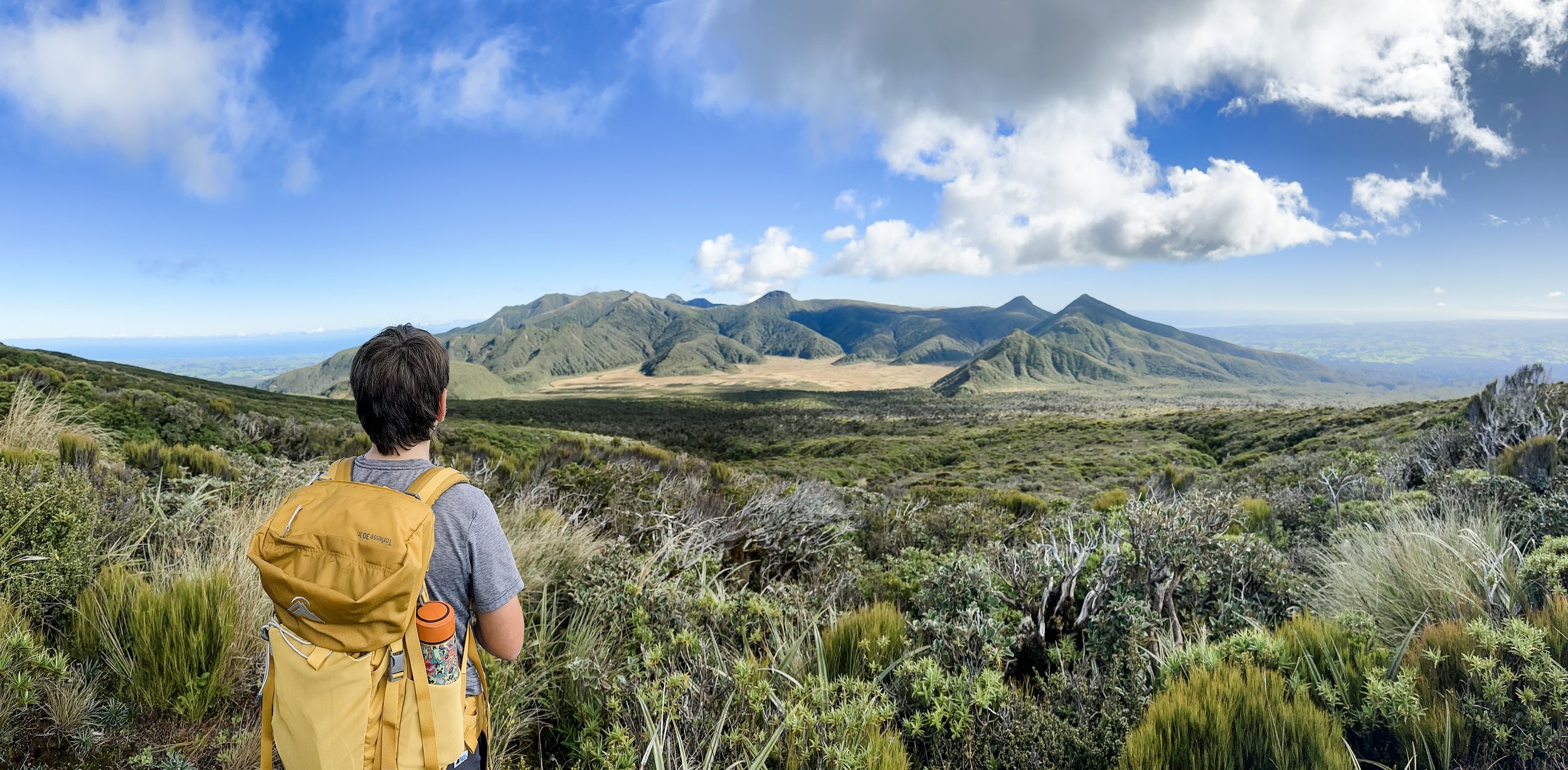
The next section takes you across the swamp which is entirely other worldly. The swamp sits at an altitude of 920 metres and lies between the main cone of Mount Taranaki and the Pouakai Range to the northwest, which reaches 1,400 metres. It was formed about 3,500 years ago when a lava extrusion and a later debris flow blocked the Stony River (thanks Wikipedia). Because much of this area is protected you are walking on boardwalk which is a nice change.

Half way up, looking back down over the swamp
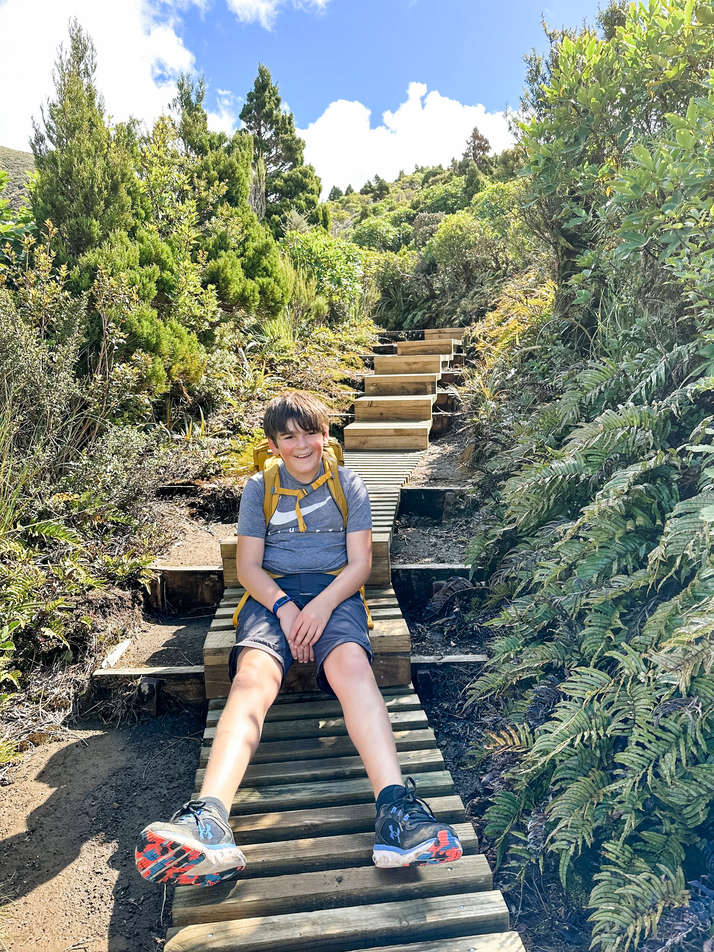
Once across we started uphill again, a little nervous at the ridge ahead of us but thought it would be over quickly. It wasn’t. It went on FOREVER! The only saving grace to this never ending ascent was the views looking back to the mountain were amazing. Plus the fact that there were wooden steps / boardwalk the whole way up. We must have been going up for 1.5hrs before it levelled out and we joined the Pouakai Junction track and Pouakai Hut. We decided not to do the detour to the tarns as we were tired and feet getting sore, so went direct to the hut for a break before starting the long downhill to Mangorei Road.
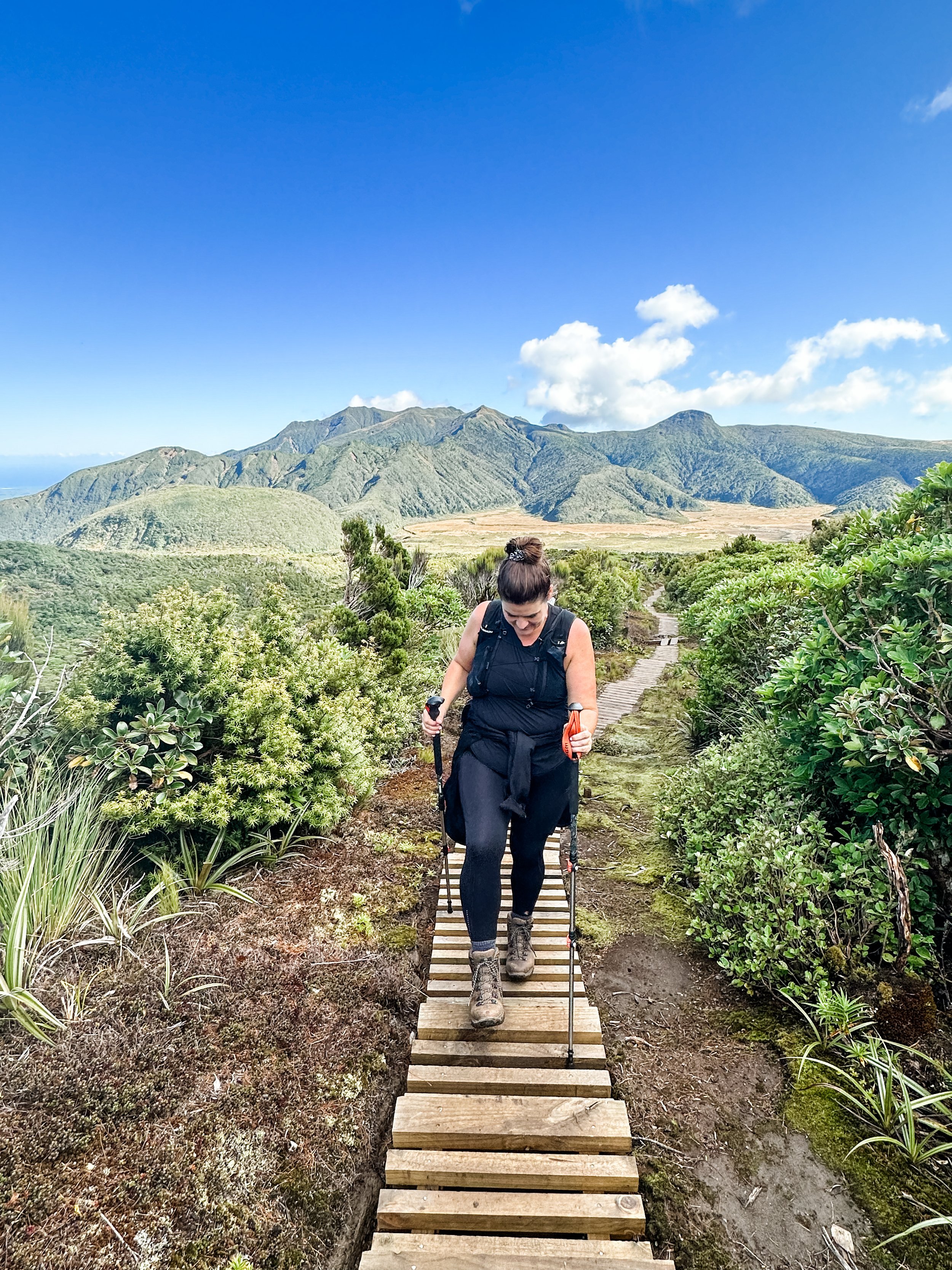
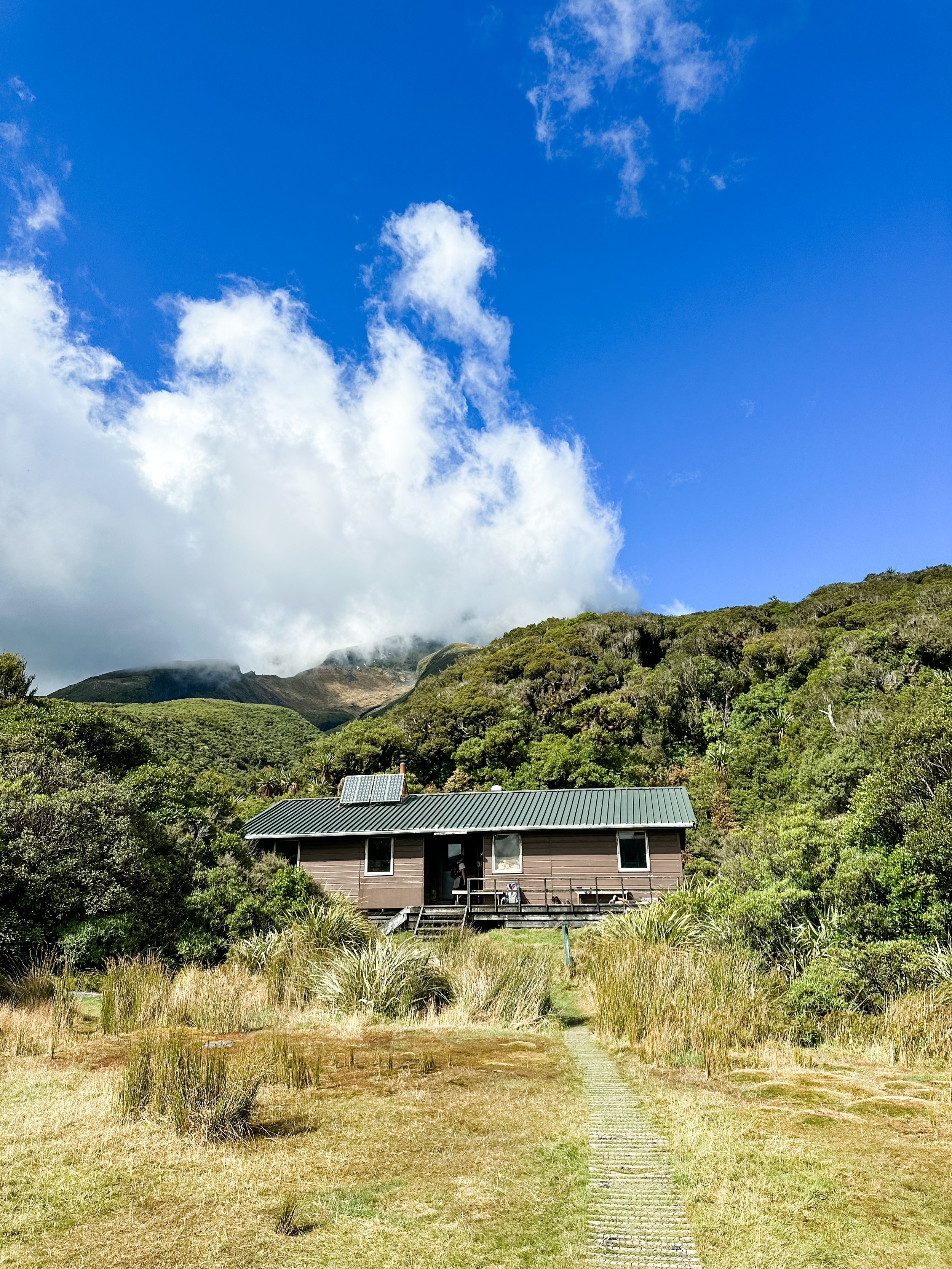
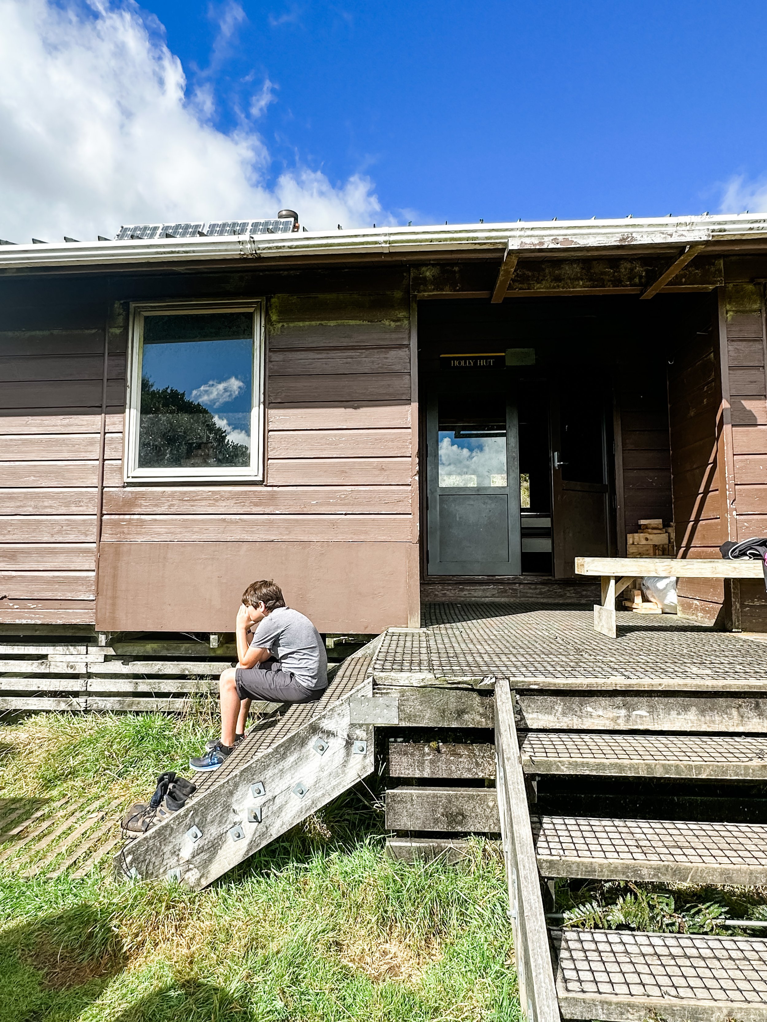
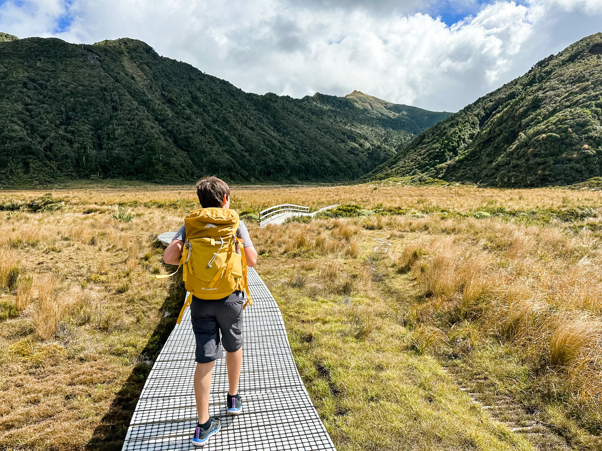
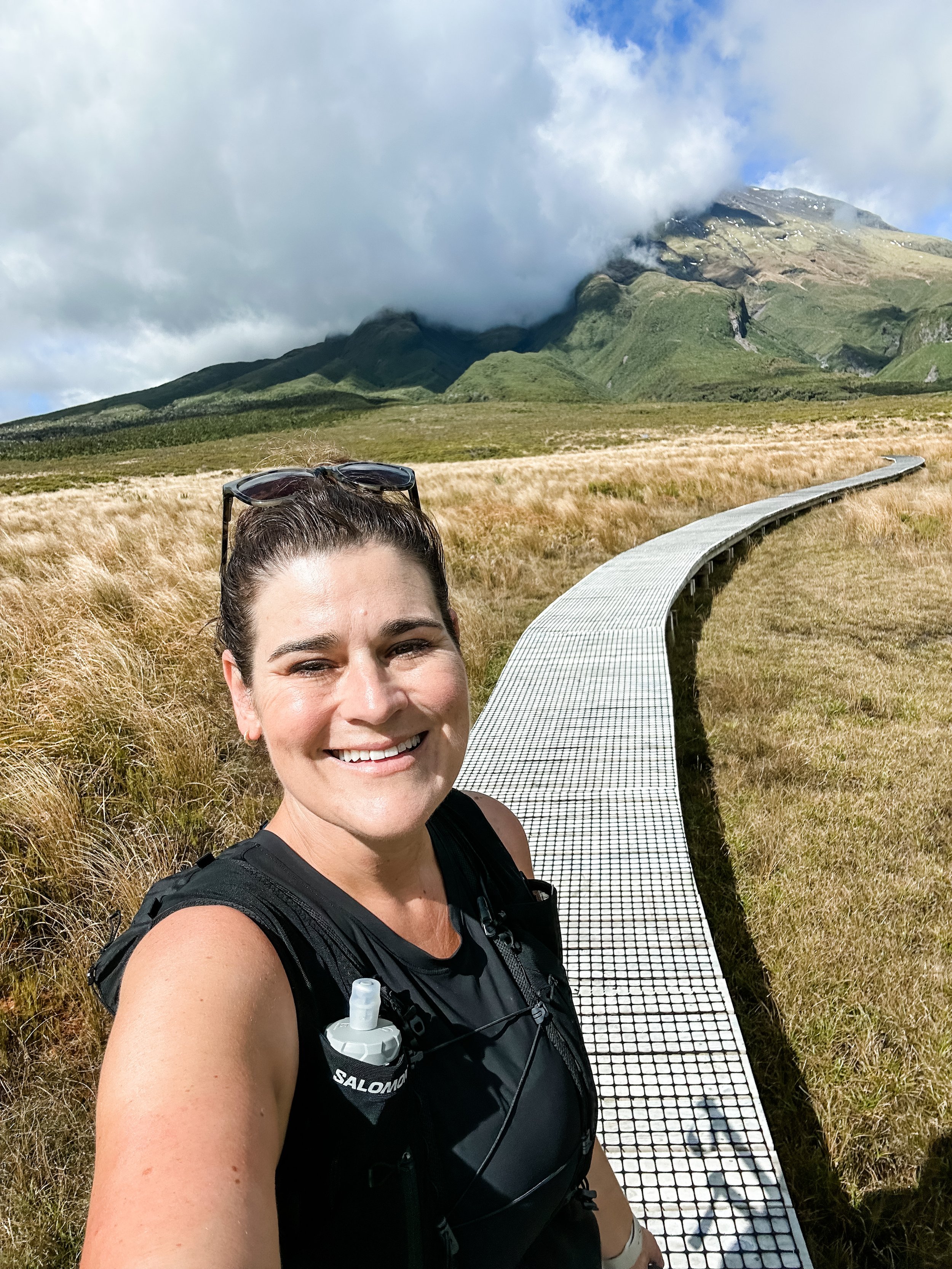
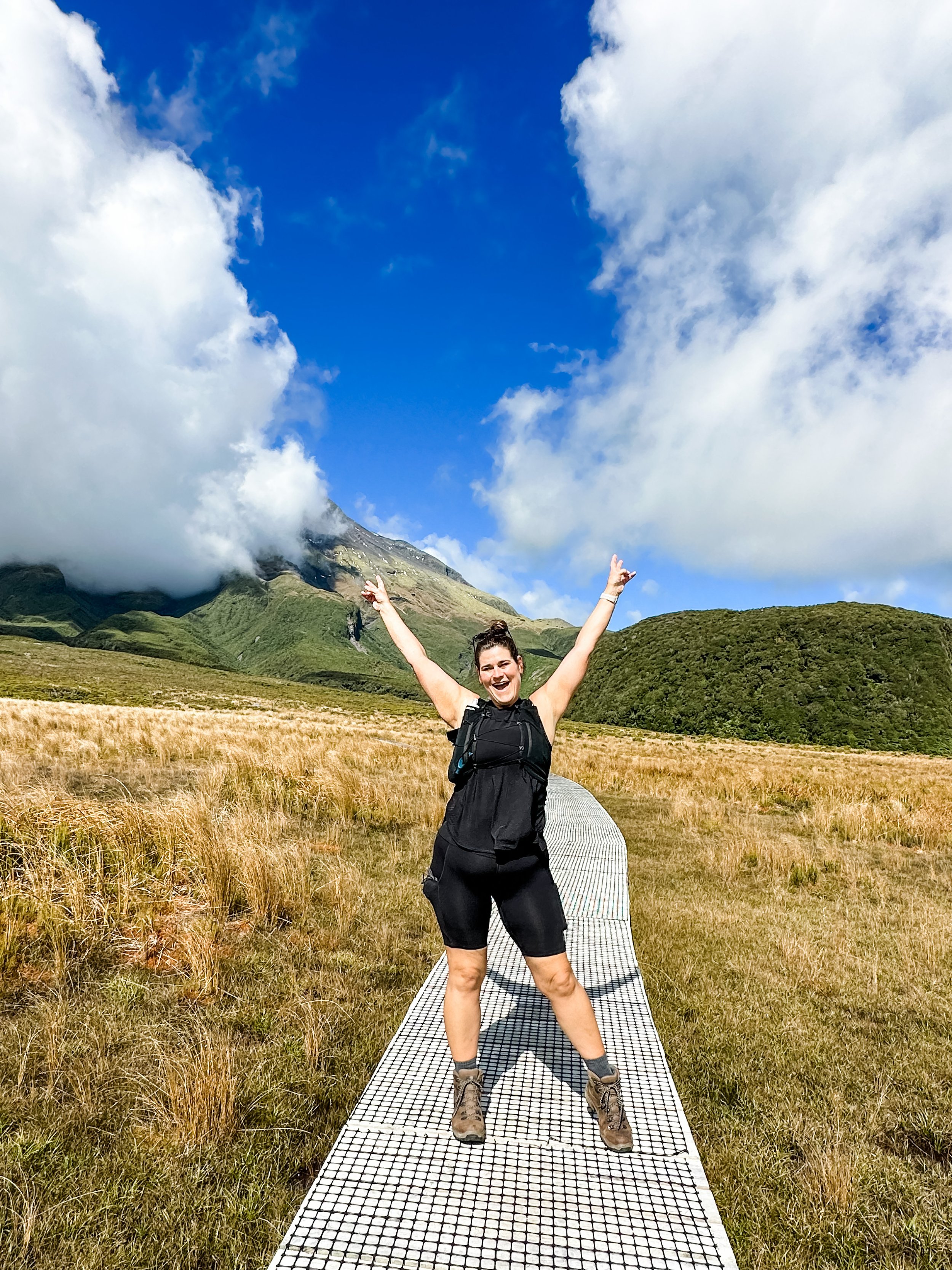
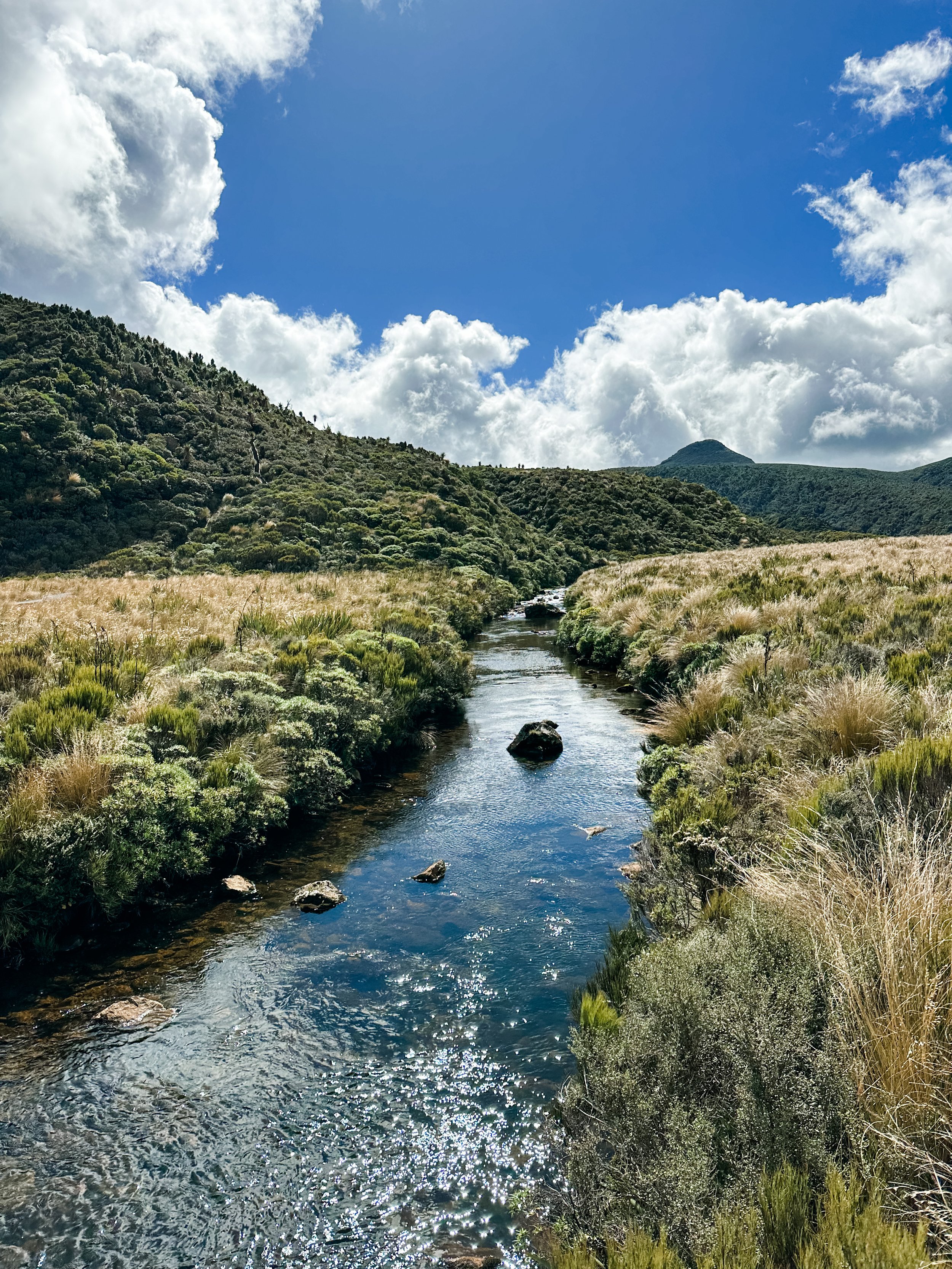
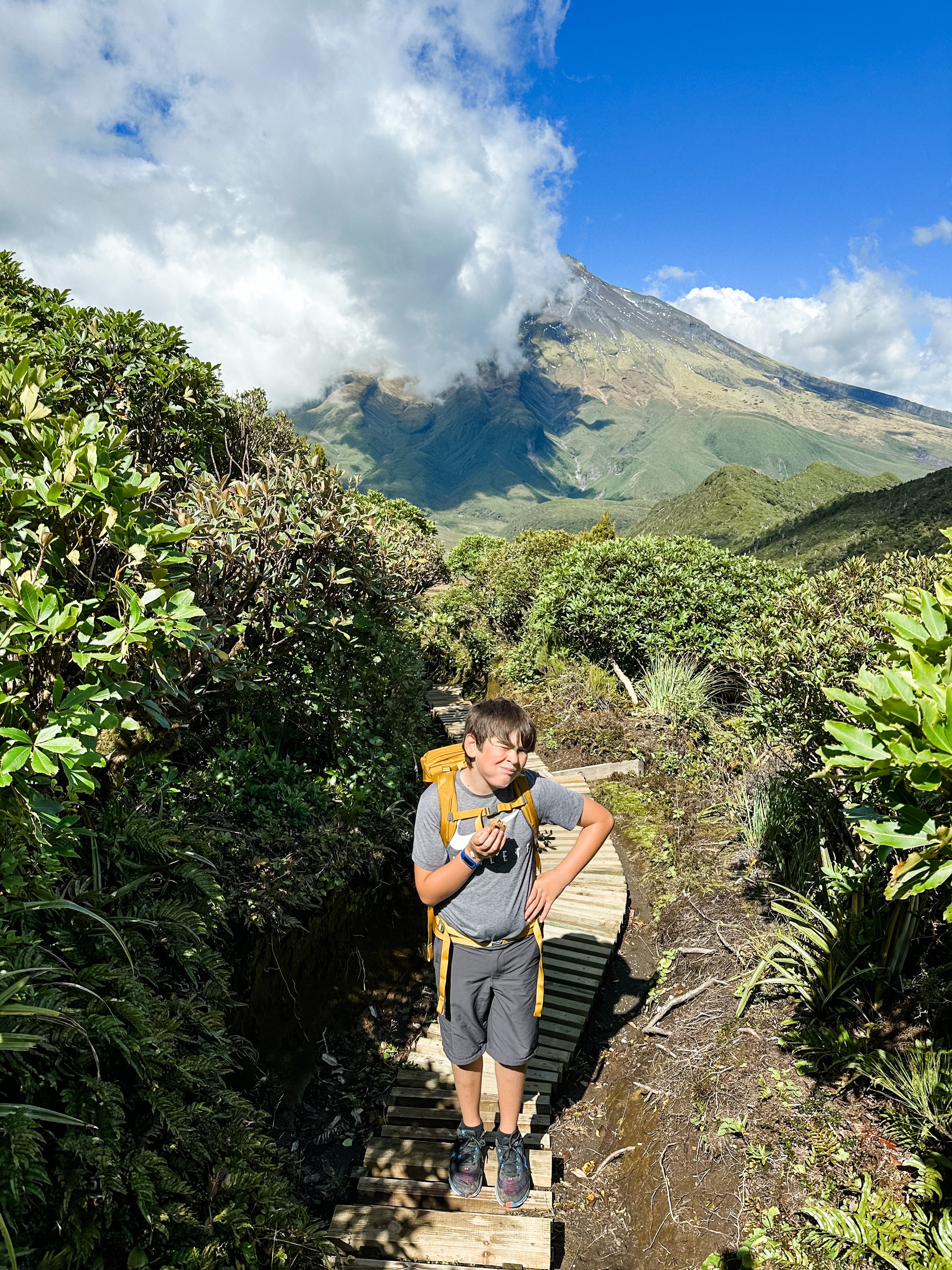
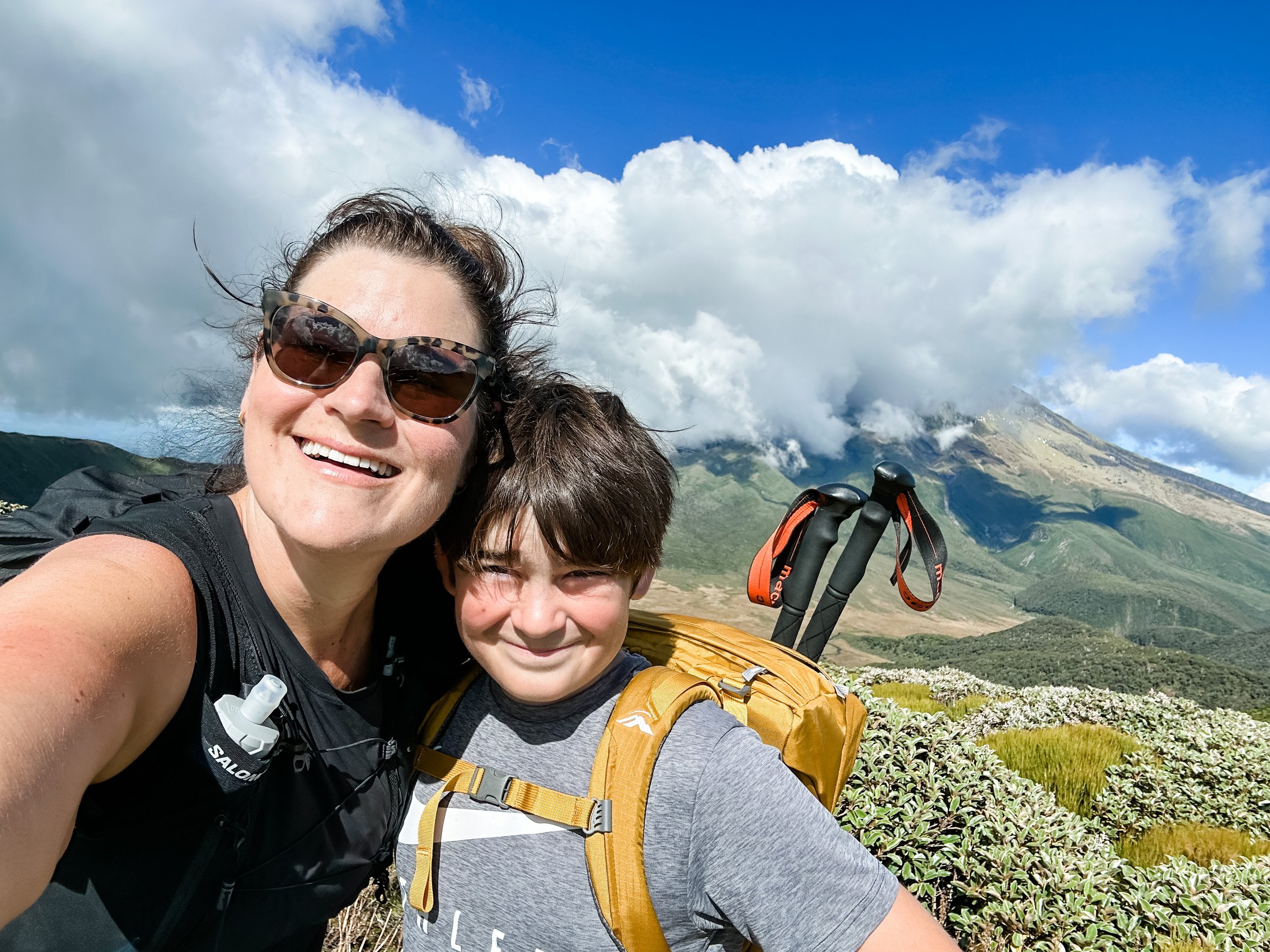
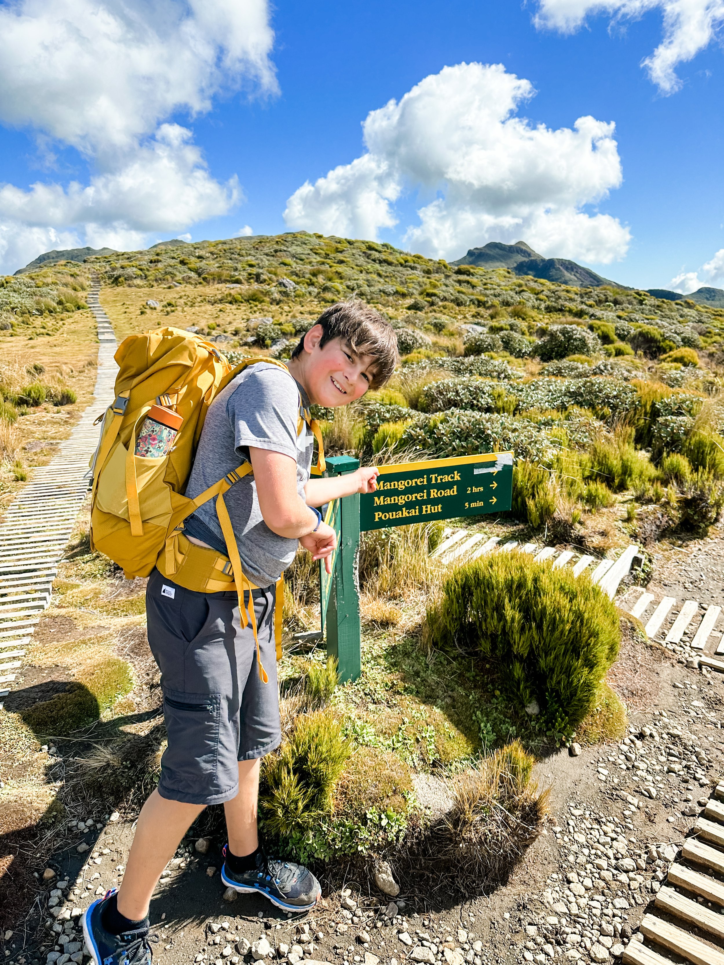
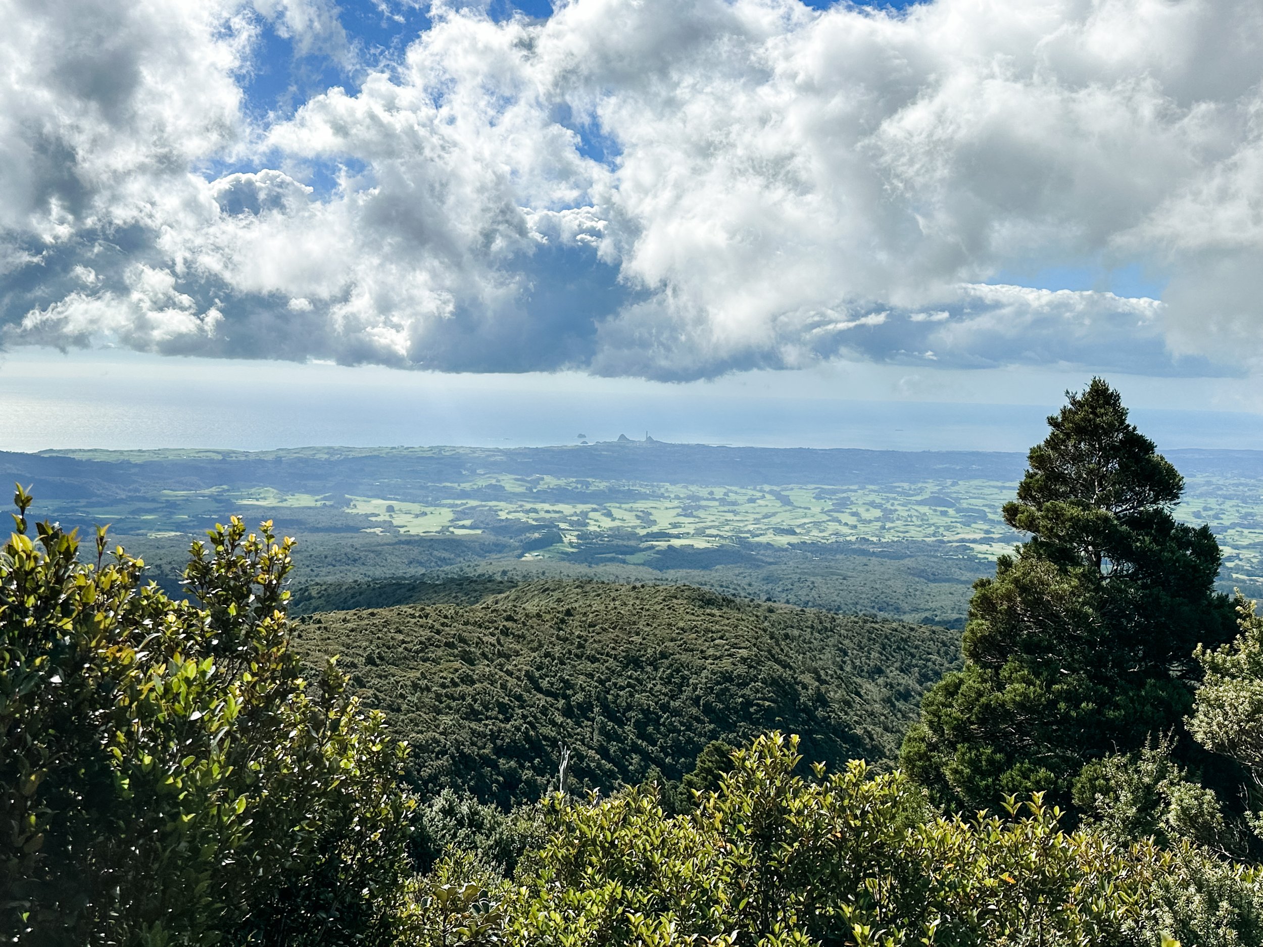
The last part is pretty gruelling due to the constant downhill on tired legs, but it is really pretty through alpine forest again. You have now joined the Pouakai Tarns track. This track is pretty famous here in the ‘naki, with hundreds and hundreds flocking here in the summer to get THE shot at the tarns. But it’s a hard slog straight uphill for 2hrs, not for the faint hearted. We thankfully were only having to go down it, but after an hour or so on already tired legs and sore feet, it was hard. But we did it! Eventually reaching my waiting husband who was waiting for us in the carpark.
My handy Apple Watch told me we had walked 20.95kms in just on 8hrs (including roughly an hour of breaks) and reach an altitude gain of 1156m. No small feat for my son OR me.
Speaking of my waiting husband - one of the things you will need to consider is transport, as the track is one way. There are two services I know of that run shuttles, the first is Taranaki Driven and the second is Ducks & Drakes. There may be others available too, so I recommend you do a quick google check.
Last but not least, please go prepared if you are going to go on this walk. The mountain is unpredictable and conditions can change. Even if it is a nice day, things change quickly up there. Make sure you take plenty of fluids & food (more than you think you will need), rain jackets plus a warm layer, good footwear, a first aid kit, emergency blankets plus sunblock and most of all make sure someone knows where you are.
If you’re coming from out of town, check out The Unwind on Canopy Camping Escapes, available from Mid September 23.
More information found on the DOC Pouakai Crossing Website
